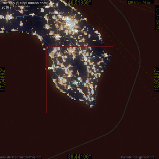
Ruffano night lights from space
Night Light of Ruffano (Apulia) from space (Italy) Src. Average luminocity for 10x10km area is 35.449% and for 50x50km: 23.8917%.
Analysis of Ruffano night lights 2016
Square area 10x10 km:
 2.55%
2.55%90-99
5.95%80-89
4.42%70-79
3.91%60-69
5.44%50-59
2.55%40-49
1.87%30-39
7.48%20-29
26.7%10-19
38.95%0-9
0.17%Square area 50x50 km:
2.2%90-99
4.63%80-89
3.11%70-79
2.65%60-69
3.03%50-59
2.11%40-49
2.41%30-39
5.28%20-29
14.69%10-19
16.44%0-9
43.45%Clear (daylight) street map image can be seen on geolist.org.
Map coordinates:
40° 31' 6.9" North, 17° 32' 47.8" East
39° 58' 55" North, 18° 14' 59.1" East
39° 26' 27.8" North, 18° 57' 10.3" East
Some cities around Ruffano sort by population:
• Casarano
8.1 km =5 mi,  293°
293°
• Tricase
10.6 km =6.6 mi,  122°
122°
• Matino
11.1 km =6.9 mi,  299°
299°
• Taurisano
4 km =2.5 mi,  227°
227°
• Ugento
9.9 km =6.2 mi, 232°
• Melissano
11 km =6.8 mi,  264°
264°
• Presicce
9.1 km =5.7 mi,  172°
172°
• Alessano
12.1 km =7.5 mi,  144°
144°
2523569 (p: 9,091)
Sources (retrieved 2019-11-25):
» Earth at Night: Flat Maps 2012, 2016