Aosta night lights from space
Night Light of Aosta (Aosta Valley) from space (Italy) Src. Average luminocity for 10x10km area is 42.1409% and for 50x50km: 5.2075%.
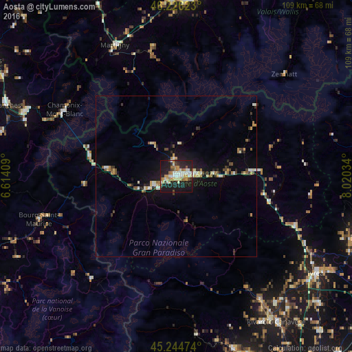
Analysis of Aosta night lights 2016
Square area 10x10 km:
 7.12%
7.12%90-99
8.03%80-89
4.09%70-79
7.58%60-69
5.76%50-59
3.79%40-49
1.97%30-39
4.24%20-29
18.94%10-19
37.12%0-9
1.36%Square area 50x50 km:
0.47%90-99
0.88%80-89
0.61%70-79
0.68%60-69
0.58%50-59
0.52%40-49
0.63%30-39
0.61%20-29
1.23%10-19
4.15%0-9
89.63%Clear (daylight) street map image can be seen on geolist.org.
Map coordinates:
46° 13' 34.4" North, 6° 36' 50.7" East
45° 44' 15.5" North, 7° 19' 2" East
45° 14' 41.1" North, 8° 1' 13.2" East
Some cities around Aosta sort by population:
• Martigny-Ville, CH
44.8 km =27.8 mi,  334°
334°
• Chamonix-Mont-Blanc, FR
40.4 km =25.1 mi,  300°
300°
• Cuorgnè
46.2 km =28.7 mi,  145°
145°
• Bourg-Saint-Maurice, FR
44.8 km =27.8 mi,  252°
252°
• Zermatt, CH
45.8 km =28.5 mi,  46°
46°
• Bagnes, CH
39.2 km =24.4 mi,  348°
348°
• Fully, CH
47.2 km =29.3 mi,  340°
340°
• Saint-Gervais-les-Bains, FR
49.6 km =30.8 mi,  290°
290°
3182997 (p: 32,295)
Sources (retrieved 2019-11-25):
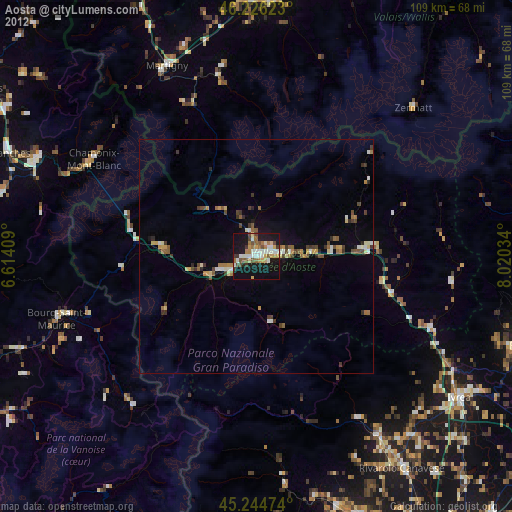
» Earth at Night: Flat Maps 2012, 2016