Zermatt night lights from space
Night Light of Zermatt (Valais) from space (Switzerland) Src. Average luminocity for 10x10km area is 1.7898% and for 50x50km: 0.8838%.
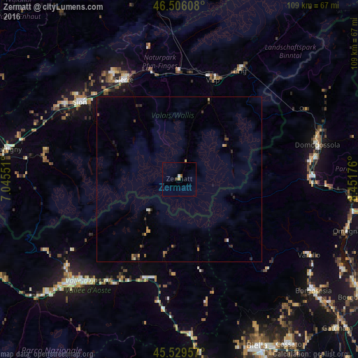
Analysis of Zermatt night lights 2016
Square area 10x10 km:
 0.28%
0.28%90-99
0.28%80-89
0%70-79
0.57%60-69
0%50-59
0.57%40-49
0.57%30-39
0%20-29
0%10-19
0%0-9
97.73%Square area 50x50 km:
0.02%90-99
0.1%80-89
0.07%70-79
0.15%60-69
0.14%50-59
0.13%40-49
0.16%30-39
0.14%20-29
0.36%10-19
0.21%0-9
98.52%Clear (daylight) street map image can be seen on geolist.org.
Map coordinates:
46° 30' 21.9" North, 7° 2' 43.8" East
46° 1' 11.9" North, 7° 44' 55.1" East
45° 31' 46.5" North, 8° 27' 6.3" East
Some cities around Zermatt sort by population:
• Sitten
38.1 km =23.7 mi,  307°
307°
• Sierre
34.4 km =21.4 mi,  331°
331°
• Naters
38.7 km =24 mi,  28°
28°
• Conthey
41.2 km =25.6 mi,  303°
303°
• Villadossola, IT
40.4 km =25.1 mi,  81°
81°
• Visp
32.1 km =19.9 mi,  18°
18°
• Savièse
40.3 km =25 mi, 309°
• Basse-Nendaz
38.6 km =24 mi, 299°
2657928 (p: 6,629)
Sources (retrieved 2019-11-25):
» Earth at Night: Flat Maps 2012, 2016