Shahrud night lights from space
Night Light of Shahrud (Semnan) from space (Iran) Src. Average luminocity for 10x10km area is 58.3357% and for 50x50km: 5.5897%.
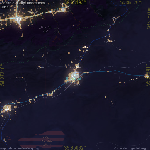
Analysis of Shahrud night lights 2016
Square area 10x10 km:
 13.81%
90-99
12.76%80-89
9.09%70-79
11.71%60-69
4.02%50-59
3.5%40-49
4.02%30-39
6.99%20-29
20.1%10-19
13.99%0-9
0%Square area 50x50 km:
0.57%90-99
0.58%80-89
1%70-79
1.29%60-69
0.53%50-59
0.37%40-49
0.6%30-39
0.91%20-29
1.71%10-19
3.52%0-9
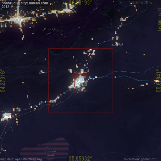
88.92%Clear (daylight) street map image can be seen on geolist.org.
Map coordinates:
36° 58' 54.9" North, 54° 16' 23.4" East
36° 25' 5.5" North, 54° 58' 34.6" East
35° 51' 1.2" North, 55° 40' 45.9" East
Some cities around Shahrud sort by population:
• Gorgān
67 km =41.6 mi,  314°
314°
• Gonbad-e Kāvūs
94 km =58.4 mi,  10°
10°
• Behshahr
130.8 km =81.3 mi,  283°
283°
• Dāmghān
63.2 km =39.3 mi,  243°
243°
• Nekā
152.1 km =94.5 mi, 279°
• Āzādshahr
76.3 km =47.4 mi, 13°
• Kalāleh
116.3 km =72.3 mi,  23°
23°
• Āq Qāyeh
96.6 km =60 mi, 9°
135423 (p: 131,889)
Sources (retrieved 2019-11-25):
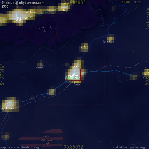
» NASA, Earths city lights 1995
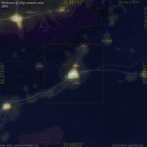
» NASA city lights 2003
» Earth at Night: Flat Maps 2012, 2016