Gorgān night lights from space
Night Light of Gorgān (Golestan) from space (Iran) Src. Average luminocity for 10x10km area is 63.4594% and for 50x50km: 11.3396%.
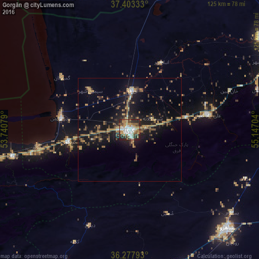
Analysis of Gorgān night lights 2016
Square area 10x10 km:
 14.29%
90-99
13.47%80-89
7.79%70-79
10.06%60-69
10.71%50-59
7.47%40-49
8.77%30-39
7.14%20-29
18.02%10-19
2.27%0-9
0%Square area 50x50 km:
0.74%90-99
0.81%80-89
1.33%70-79
2.04%60-69
1.92%50-59
1.72%40-49
2.05%30-39
1.85%20-29
3.51%10-19
10.7%0-9
73.35%Clear (daylight) street map image can be seen on geolist.org.
Map coordinates:
37° 24' 12" North, 53° 44' 26.8" East
36° 50' 33.7" North, 54° 26' 38.1" East
36° 16' 40.5" North, 55° 8' 49.3" East
Some cities around Gorgān sort by population:
• Shahrud
67 km =41.6 mi,  134°
134°
• Gonbad-e Kāvūs
78.6 km =48.8 mi,  54°
54°
• Behshahr
81.1 km =50.4 mi,  258°
258°
• Dāmghān
75.6 km =47 mi,  186°
186°
• Nekā
104.2 km =64.7 mi, 258°
• Āzādshahr
70.1 km =43.6 mi,  67°
67°
• Kalāleh
110.5 km =68.7 mi,  57°
57°
• Āq Qāyeh
79.6 km =49.5 mi, 52°
132892 (p: 244,937)
Sources (retrieved 2019-11-25):
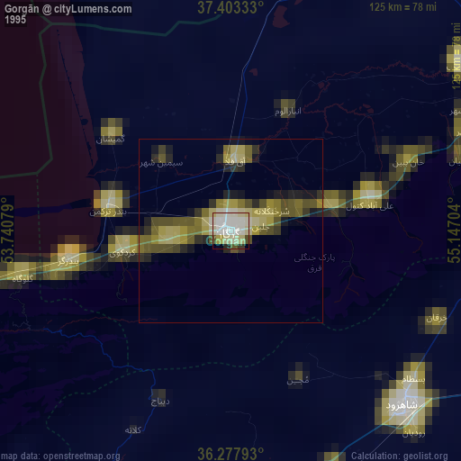
» NASA, Earths city lights 1995
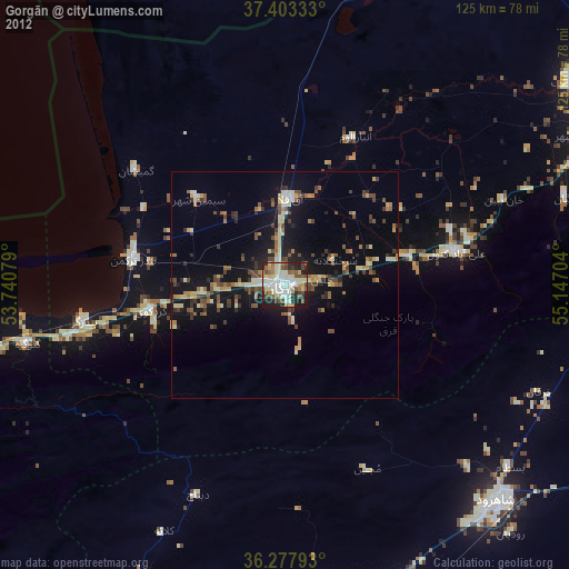
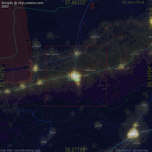
» NASA city lights 2003
» Earth at Night: Flat Maps 2012, 2016