Nekā night lights from space
Night Light of Nekā (Māzandarān) from space (Iran) Src. Average luminocity for 10x10km area is 48.9231% and for 50x50km: 17.8297%.
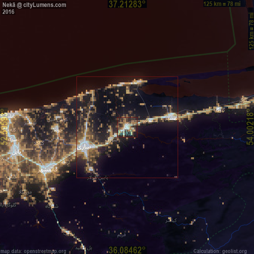
Analysis of Nekā night lights 2016
Square area 10x10 km:
 5.49%
5.49%90-99
5.13%80-89
4.03%70-79
10.44%60-69
12.09%50-59
6.59%40-49
10.26%30-39
10.81%20-29
21.61%10-19
13.19%0-9
0.37%Square area 50x50 km:
1.76%90-99
1.88%80-89
1.33%70-79
2.81%60-69
3.2%50-59
2.36%40-49
3.17%30-39
4.14%20-29
6.16%10-19
15.56%0-9
57.63%Clear (daylight) street map image can be seen on geolist.org.
Map coordinates:
37° 12' 46.2" North, 52° 35' 45.3" East
36° 39' 2.8" North, 53° 17' 56.6" East
36° 5' 4.6" North, 54° 0' 7.8" East
Some cities around Nekā sort by population:
• Sari
23.4 km =14.5 mi,  245°
245°
• Gorgān
104.2 km =64.7 mi,  78°
78°
• Bābol
56.4 km =35 mi,  258°
258°
• Āmol
87.1 km =54.1 mi, 256°
• Behshahr
23.1 km =14.4 mi, 78°
• Bābolsar
57.5 km =35.7 mi,  275°
275°
• Fereydūnkenār
69.4 km =43.1 mi,  273°
273°
• Jūybār
34.5 km =21.4 mi, 268°
122397 (p: 48,847)
Sources (retrieved 2019-11-25):
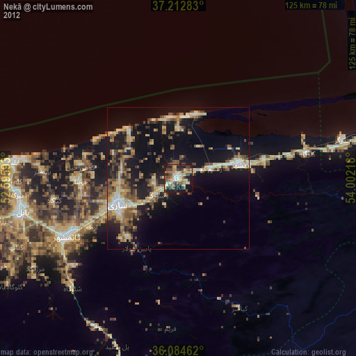
» Earth at Night: Flat Maps 2012, 2016