Behshahr night lights from space
Night Light of Behshahr (Māzandarān) from space (Iran) Src. Average luminocity for 10x10km area is 39.7491% and for 50x50km: 8.6595%.
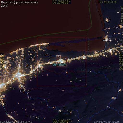
Analysis of Behshahr night lights 2016
Square area 10x10 km:
 6.41%
6.41%90-99
7.69%80-89
2.93%70-79
8.06%60-69
3.66%50-59
2.93%40-49
1.83%30-39
9.34%20-29
12.27%10-19
41.94%0-9
2.93%Square area 50x50 km:
0.7%90-99
0.8%80-89
0.63%70-79
1.96%60-69
1.34%50-59
1.09%40-49
0.94%30-39
1.44%20-29
2.18%10-19
9.52%0-9
79.39%Clear (daylight) street map image can be seen on geolist.org.
Map coordinates:
37° 15' 14.7" North, 52° 50' 58.2" East
36° 41' 32.5" North, 53° 33' 9.4" East
36° 7' 35.3" North, 54° 15' 20.7" East
Some cities around Behshahr sort by population:
• Sari
46.2 km =28.7 mi,  251°
251°
• Gorgān
81.1 km =50.4 mi,  78°
78°
• Bābol
79.5 km =49.4 mi,  258°
258°
• Dāmghān
91.6 km =56.9 mi,  129°
129°
• Nekā
23.1 km =14.4 mi, 258°
• Bābolsar
79.8 km =49.6 mi,  270°
270°
• Fereydūnkenār
91.8 km =57 mi, 269°
• Jūybār
57.4 km =35.7 mi, 264°
140918 (p: 93,500)
Sources (retrieved 2019-11-25):
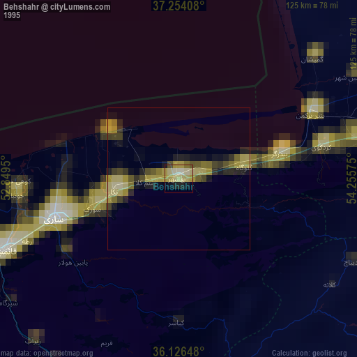
» NASA, Earths city lights 1995
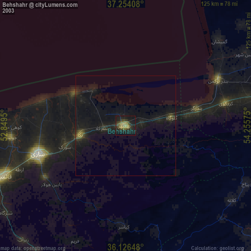
» NASA city lights 2003
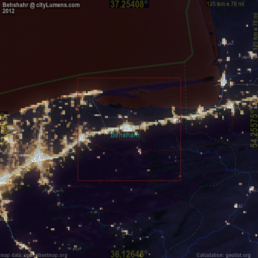
» Earth at Night: Flat Maps 2012, 2016