Piranshahr night lights from space
Night Light of Piranshahr (West Azerbaijan) from space (Iran) Src. Average luminocity for 10x10km area is 28.7051% and for 50x50km: 2.4046%.
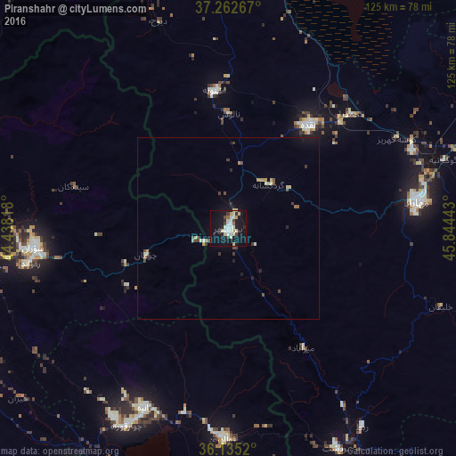
Analysis of Piranshahr night lights 2016
Square area 10x10 km:
 4.4%
4.4%90-99
6.23%80-89
6.96%70-79
2.2%60-69
0.55%50-59
0.92%40-49
2.2%30-39
2.2%20-29
4.4%10-19
40.29%0-9
29.67%Square area 50x50 km:
0.18%90-99
0.34%80-89
0.51%70-79
0.24%60-69
0.15%50-59
0.17%40-49
0.33%30-39
0.45%20-29
0.32%10-19
2.11%0-9
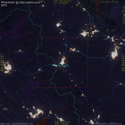
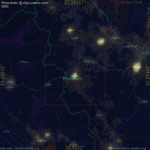
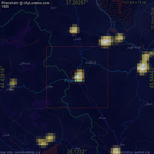
95.21%Clear (daylight) street map image can be seen on geolist.org.
Map coordinates:
37° 15' 45.6" North, 44° 26' 17.4" East
36° 42' 3.6" North, 45° 8' 28.7" East
36° 8' 6.7" North, 45° 50' 39.9" East
Some cities around Piranshahr sort by population:
• Mahābād
52.2 km =32.4 mi,  82°
82°
• Mīāndoāb
91.1 km =56.6 mi,  71°
71°
• Soran, IQ
53.5 km =33.2 mi,  264°
264°
• Naqadeh
35.8 km =22.2 mi,  37°
37°
• Oshnavīyeh
37.9 km =23.5 mi,  354°
354°
• Koysinceq, IQ
82.6 km =51.3 mi,  213°
213°
• Ṟuwandiz, IQ
56 km =34.8 mi, 259°
• Şemdinli, TR
84 km =52.2 mi,  323°
323°
121110 (p: 61,973)
Sources (retrieved 2019-11-25):
» NASA, Earths city lights 1995
» NASA city lights 2003
» Earth at Night: Flat Maps 2012, 2016