Shahre Jadide Andisheh night lights from space
Night Light of Shahre Jadide Andisheh (Tehrān) from space (Iran) Src. Average luminocity for 10x10km area is 94.1888% and for 50x50km: 60.6087%.
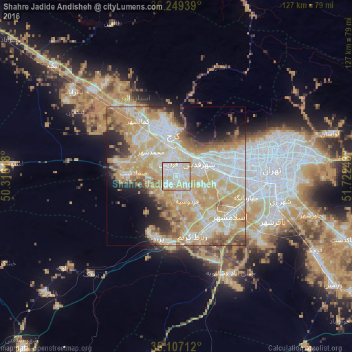
Analysis of Shahre Jadide Andisheh night lights 2016
Square area 10x10 km:
 33.74%
90-99
36.36%80-89
26.75%70-79
2.97%60-69
0.17%50-59
0%40-49
0%30-39
0%20-29
0%10-19
0%0-9
0%Square area 50x50 km:
13.65%90-99
13.56%80-89
11.42%70-79
17%60-69
6.03%50-59
4.64%40-49
4.01%30-39
2.66%20-29
4.68%10-19
6.27%0-9
16.09%Clear (daylight) street map image can be seen on geolist.org.
Map coordinates:
36° 14' 57.8" North, 50° 18' 58.2" East
35° 40' 49.1" North, 51° 1' 9.5" East
35° 6' 25.6" North, 51° 43' 20.7" East
Some cities around Shahre Jadide Andisheh sort by population:
• Tehran
36.4 km =22.6 mi,  87°
87°
• Karaj
17.1 km =10.6 mi,  351°
351°
• Qarchak
57.6 km =35.8 mi,  119°
119°
• Naz̧arābād
48.1 km =29.9 mi,  309°
309°
• Robāţ Karīm
22.5 km =14 mi,  165°
165°
• Malārd
4.2 km =2.6 mi,  247°
247°
• Ābyek
60.3 km =37.5 mi,  315°
315°
• Eqbālīyeh
62.9 km =39.1 mi,  131°
131°
32909 (p: 80,000)
Sources (retrieved 2019-11-25):
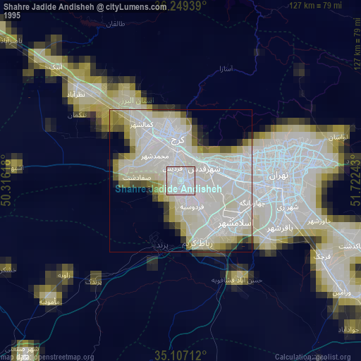
» NASA, Earths city lights 1995
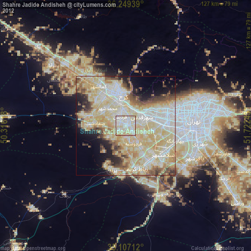
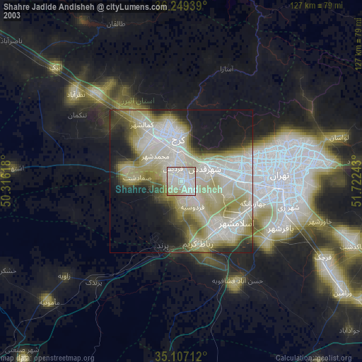
» NASA city lights 2003
» Earth at Night: Flat Maps 2012, 2016