Shahrīār night lights from space
Night Light of Shahrīār (Tehrān) from space (Iran) Src. Average luminocity for 10x10km area is 90.9336% and for 50x50km: 64.3934%.
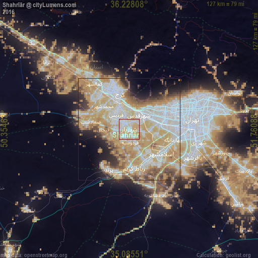
Analysis of Shahrīār night lights 2016
Square area 10x10 km:
 22.55%
90-99
30.59%80-89
39.86%70-79
6.99%60-69
0%50-59
0%40-49
0%30-39
0%20-29
0%10-19
0%0-9
0%Square area 50x50 km:
16.06%90-99
13.94%80-89
11.66%70-79
17.57%60-69
6.35%50-59
4.78%40-49
4.55%30-39
2.9%20-29
4.33%10-19
5.29%0-9
12.56%Clear (daylight) street map image can be seen on geolist.org.
Map coordinates:
36° 13' 41.1" North, 50° 21' 16.7" East
35° 39' 31.8" North, 51° 3' 27.9" East
35° 5' 7.8" North, 51° 45' 39.2" East
Some cities around Shahrīār sort by population:
• Tehran
33.1 km =20.6 mi,  83°
83°
• Karaj
20.2 km =12.6 mi,  342°
342°
• Qarchak
53.4 km =33.2 mi,  118°
118°
• Naz̧arābād
52.3 km =32.5 mi,  308°
308°
• Robāţ Karīm
19.5 km =12.1 mi,  173°
173°
• Malārd
7.4 km =4.6 mi,  276°
276°
• Ābyek
64.4 km =40 mi, 314°
• Eqbālīyeh
58.7 km =36.5 mi,  132°
132°
143860 (p: 58,849)
Sources (retrieved 2019-11-25):
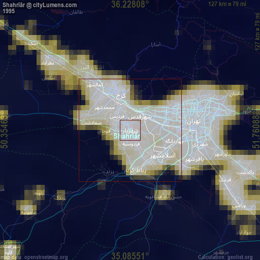
» NASA, Earths city lights 1995
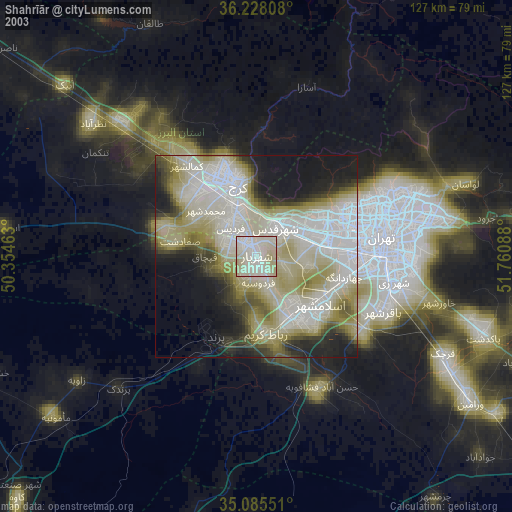
» NASA city lights 2003
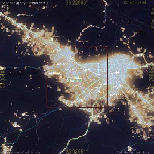
» Earth at Night: Flat Maps 2012, 2016