Marand night lights from space
Night Light of Marand (East Azerbaijan) from space (Iran) Src. Average luminocity for 10x10km area is 42.2289% and for 50x50km: 5.8145%.
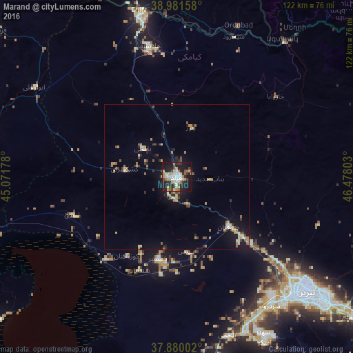
Analysis of Marand night lights 2016
Square area 10x10 km:
 6.17%
6.17%90-99
7.47%80-89
6.82%70-79
7.63%60-69
3.57%50-59
3.41%40-49
4.71%30-39
5.19%20-29
17.37%10-19
33.28%0-9
4.38%Square area 50x50 km:
0.36%90-99
0.78%80-89
0.7%70-79
0.99%60-69
0.8%50-59
0.63%40-49
0.79%30-39
0.85%20-29
1.39%10-19
4.18%0-9
88.53%Clear (daylight) street map image can be seen on geolist.org.
Map coordinates:
38° 58' 53.7" North, 45° 4' 18.4" East
38° 25' 58.4" North, 45° 46' 29.6" East
37° 52' 48.1" North, 46° 28' 40.9" East
Some cities around Marand sort by population:
• Tabriz
59.8 km =37.2 mi,  130°
130°
• Khowy
72.8 km =45.2 mi,  280°
280°
• Salmās
91.9 km =57.1 mi,  253°
253°
• Nakhchivan, AZ
91.8 km =57 mi,  339°
339°
• Qarah Ẕīā’ od Dīn
82.7 km =51.4 mi,  308°
308°
• Culfa, AZ
59.3 km =36.8 mi,  347°
347°
• Ordubad, AZ
57.2 km =35.5 mi,  22°
22°
• Yaycı, AZ
56.6 km =35.2 mi,  356°
356°
124862 (p: 124,191)
Sources (retrieved 2019-11-25):
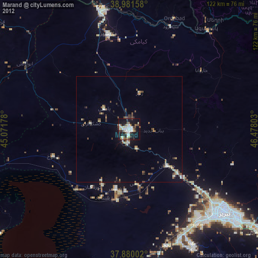
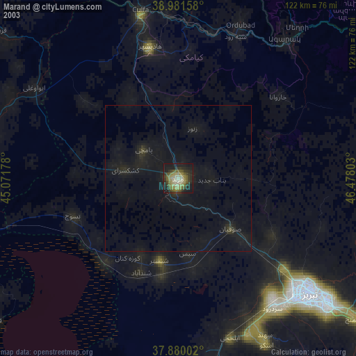
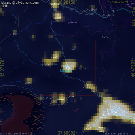
» NASA, Earths city lights 1995
» NASA city lights 2003
» Earth at Night: Flat Maps 2012, 2016