Salmās night lights from space
Night Light of Salmās (West Azerbaijan) from space (Iran) Src. Average luminocity for 10x10km area is 37.6905% and for 50x50km: 3.5894%.
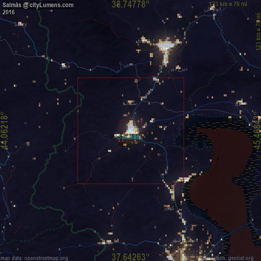
Analysis of Salmās night lights 2016
Square area 10x10 km:
 5.95%
5.95%90-99
9.52%80-89
3.57%70-79
3.4%60-69
3.06%50-59
2.72%40-49
6.29%30-39
4.76%20-29
9.01%10-19
44.73%0-9
6.97%Square area 50x50 km:
0.27%90-99
0.55%80-89
0.35%70-79
0.36%60-69
0.28%50-59
0.53%40-49
0.75%30-39
0.85%20-29
0.73%10-19
2.91%0-9
92.41%Clear (daylight) street map image can be seen on geolist.org.
Map coordinates:
38° 44' 52" North, 44° 3' 43.8" East
38° 11' 50.3" North, 44° 45' 55.1" East
37° 38' 33.5" North, 45° 28' 6.3" East
Some cities around Salmās sort by population:
• Orūmīyeh
76.7 km =47.7 mi,  159°
159°
• Khowy
42.5 km =26.4 mi,  22°
22°
• Marand
91.9 km =57.1 mi,  73°
73°
• Yüksekova, TR
81.1 km =50.4 mi,  211°
211°
• Qarah Ẕīā’ od Dīn
80.4 km =50 mi, 16°
• Şemdinli, TR
100.6 km =62.5 mi,  189°
189°
• Başkale, TR
67.6 km =42 mi,  255°
255°
• Özalp, TR
84.6 km =52.6 mi,  306°
306°
117656 (p: 81,606)
Sources (retrieved 2019-11-25):
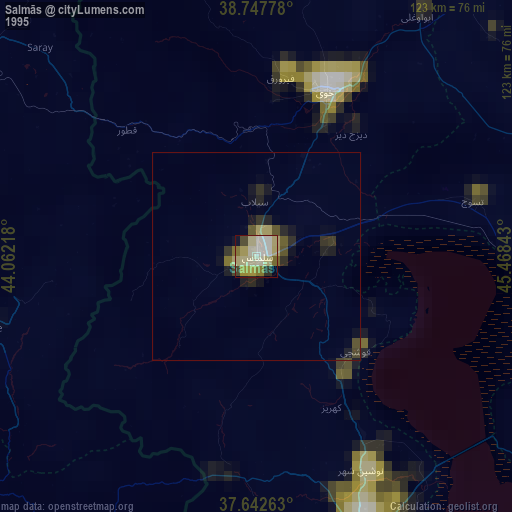
» NASA, Earths city lights 1995
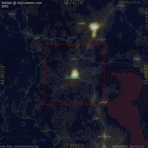
» NASA city lights 2003
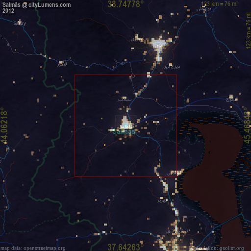
» Earth at Night: Flat Maps 2012, 2016