Tabriz night lights from space
Night Light of Tabriz (East Azerbaijan) from space (Iran) Src. Average luminocity for 10x10km area is 92.2435% and for 50x50km: 24.3299%.
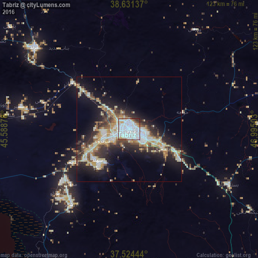
Analysis of Tabriz night lights 2016
Square area 10x10 km:
 51.95%
90-99
29.55%80-89
4.22%70-79
3.9%60-69
2.11%50-59
2.92%40-49
1.3%30-39
2.27%20-29
1.79%10-19
0%0-9
0%Square area 50x50 km:
4.64%90-99
5.19%80-89
3.31%70-79
3.37%60-69
1.68%50-59
2.4%40-49
3.33%30-39
4.25%20-29
6.29%10-19
12.34%0-9
53.19%Clear (daylight) street map image can be seen on geolist.org.
Map coordinates:
38° 37' 52.9" North, 45° 35' 19.6" East
38° 4' 48" North, 46° 17' 30.8" East
37° 31' 28" North, 46° 59' 42.1" East
Some cities around Tabriz sort by population:
• Marand
59.8 km =37.2 mi,  310°
310°
• Ahar
81 km =50.3 mi,  56°
56°
• Bonāb
84.8 km =52.7 mi,  194°
194°
• ‘Ajab Shīr
75.5 km =46.9 mi,  207°
207°
• Hashtrūd
94.5 km =58.7 mi,  135°
135°
• Ordubad, AZ
95.2 km =59.2 mi,  345°
345°
• Yaycı, AZ
107.4 km =66.7 mi,  333°
333°
• Mincivan, AZ
112.1 km =69.7 mi,  19°
19°
113646 (p: 1,424,641)
Sources (retrieved 2019-11-25):
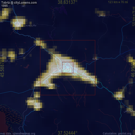
» NASA, Earths city lights 1995
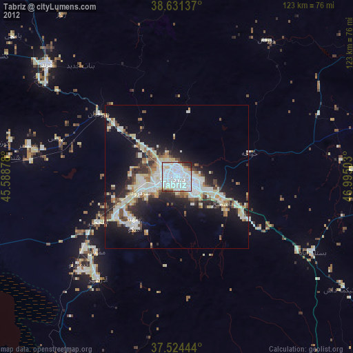
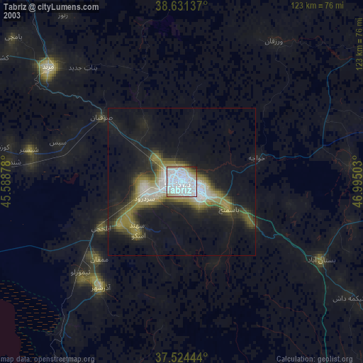
» NASA city lights 2003
» Earth at Night: Flat Maps 2012, 2016