Nakhchivan night lights from space
Night Light of Nakhchivan (Nakhichevan) from space (Azerbaijan) Src. Average luminocity for 10x10km area is 42.2679% and for 50x50km: 2.9712%.
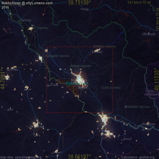
Analysis of Nakhchivan night lights 2016
Square area 10x10 km:
 7.31%
7.31%90-99
9.58%80-89
5.36%70-79
5.84%60-69
6.17%50-59
2.44%40-49
4.06%30-39
4.22%20-29
9.74%10-19
37.99%0-9
7.31%Square area 50x50 km:
0.32%90-99
0.46%80-89
0.38%70-79
0.38%60-69
0.3%50-59
0.26%40-49
0.48%30-39
0.53%20-29
0.53%10-19
2.66%0-9
93.7%Clear (daylight) street map image can be seen on geolist.org.
Map coordinates:
39° 45' 5.7" North, 44° 42' 32.8" East
39° 12' 32" North, 45° 24' 44" East
38° 39' 43.1" North, 46° 6' 55.3" East
Some cities around Nakhchivan sort by population:
• Qarah Ẕīā’ od Dīn, IR
48.6 km =30.2 mi,  223°
223°
• Hats’avan, AM
55.8 km =34.7 mi,  59°
59°
• Culfa
34 km =21.1 mi,  146°
146°
• Yaycı
40.7 km =25.3 mi,  137°
137°
• Yeghegnadzor, AM
62.1 km =38.6 mi,  353°
353°
• Cahri
15.5 km =9.6 mi,  1°
1°
• Sharur City
53.3 km =33.1 mi,  315°
315°
• Vayk’, AM
53.6 km =33.3 mi,  5°
5°
147429 (p: 64,754)
Sources (retrieved 2019-11-25):
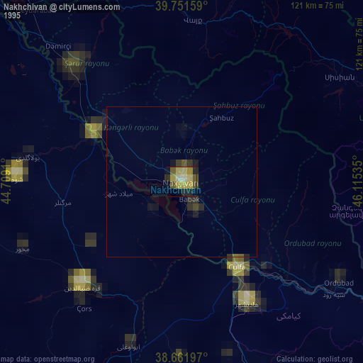
» NASA, Earths city lights 1995
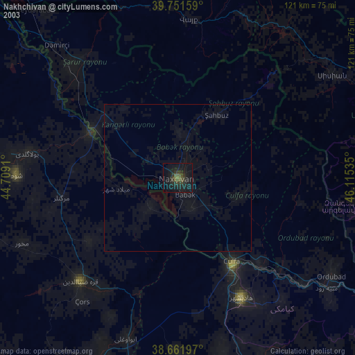
» NASA city lights 2003
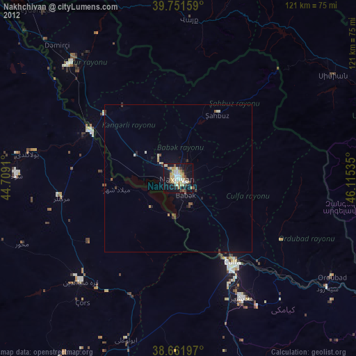
» Earth at Night: Flat Maps 2012, 2016