Esfarāyen night lights from space
Night Light of Esfarāyen (North Khorasan) from space (Iran) Src. Average luminocity for 10x10km area is 21.1769% and for 50x50km: 1.6036%.
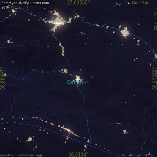

Analysis of Esfarāyen night lights 2016
Square area 10x10 km:
 0.85%
0.85%90-99
5.44%80-89
5.1%70-79
0.34%60-69
3.91%50-59
1.7%40-49
2.38%30-39
2.89%20-29
0.51%10-19
15.65%0-9
61.22%Square area 50x50 km:
0.03%90-99
0.27%80-89
0.32%70-79
0.08%60-69
0.34%50-59
0.22%40-49
0.19%30-39
0.29%20-29
0.13%10-19
0.69%0-9
97.44%Clear (daylight) street map image can be seen on geolist.org.
Map coordinates:
37° 38' 7.3" North, 56° 48' 25.1" East
37° 4' 35.2" North, 57° 30' 36.3" East
36° 30' 48.2" North, 58° 12' 47.6" East
Some cities around Esfarāyen sort by population:
• Ashgabat, TM
124 km =77.1 mi,  38°
38°
• Sabzevar
97.3 km =60.5 mi,  170°
170°
• Neyshābūr
149.6 km =93 mi,  129°
129°
• Bojnūrd
47.1 km =29.3 mi,  340°
340°
• Qūchān
88.7 km =55.1 mi,  87°
87°
• Shīrvān
51.4 km =31.9 mi,  46°
46°
• Abadan, TM
124.4 km =77.3 mi,  29°
29°
• Annau, TM
126.5 km =78.6 mi, 44°
135298 (p: 59,678)
Sources (retrieved 2019-11-25):
» NASA, Earths city lights 1995
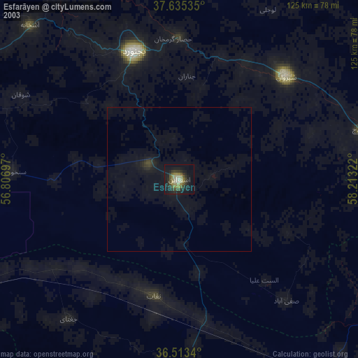
» NASA city lights 2003
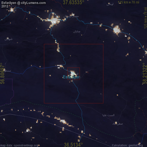
» Earth at Night: Flat Maps 2012, 2016