Shīrvān night lights from space
Night Light of Shīrvān (North Khorasan) from space (Iran) Src. Average luminocity for 10x10km area is 33.3474% and for 50x50km: 2.433%.
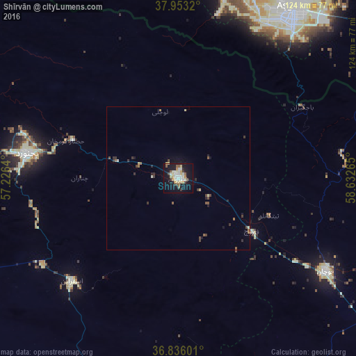

Analysis of Shīrvān night lights 2016
Square area 10x10 km:
 3.73%
3.73%90-99
9.25%80-89
7.14%70-79
2.27%60-69
2.6%50-59
3.73%40-49
1.79%30-39
3.25%20-29
1.79%10-19
40.42%0-9
24.03%Square area 50x50 km:
0.18%90-99
0.42%80-89
0.44%70-79
0.18%60-69
0.19%50-59
0.37%40-49
0.3%30-39
0.54%20-29
0.28%10-19
2.16%0-9
94.95%Clear (daylight) street map image can be seen on geolist.org.
Map coordinates:
37° 57' 11.5" North, 57° 13' 35" East
37° 23' 48.1" North, 57° 55' 46.3" East
36° 50' 9.6" North, 58° 37' 57.5" East
Some cities around Shīrvān sort by population:
• Ashgabat, TM
73.3 km =45.5 mi,  32°
32°
• Sabzevar
133.5 km =83 mi,  189°
189°
• Bojnūrd
53.7 km =33.4 mi,  279°
279°
• Qūchān
60.7 km =37.7 mi,  122°
122°
• Esfarāyen
51.4 km =31.9 mi,  226°
226°
• Abadan, TM
76.8 km =47.7 mi,  17°
17°
• Annau, TM
75.1 km =46.7 mi,  43°
43°
• Baharly, TM
123.6 km =76.8 mi,  339°
339°
114930 (p: 82,790)
Sources (retrieved 2019-11-25):
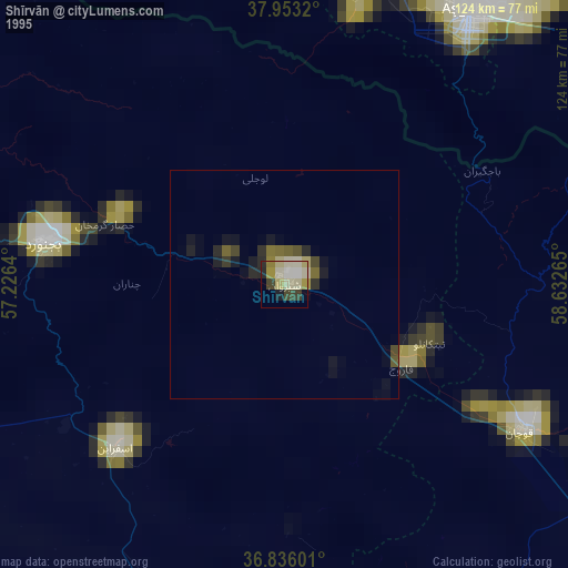
» NASA, Earths city lights 1995
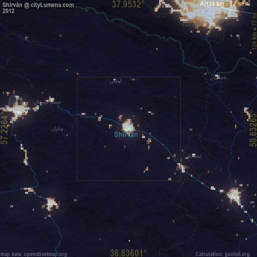
» NASA city lights 2003
» Earth at Night: Flat Maps 2012, 2016