Al Başrah al Qadīmah night lights from space
Night Light of Al Başrah al Qadīmah (Basra) from space (Iraq) Src. Average luminocity for 10x10km area is 99.6777% and for 50x50km: 55.3232%.
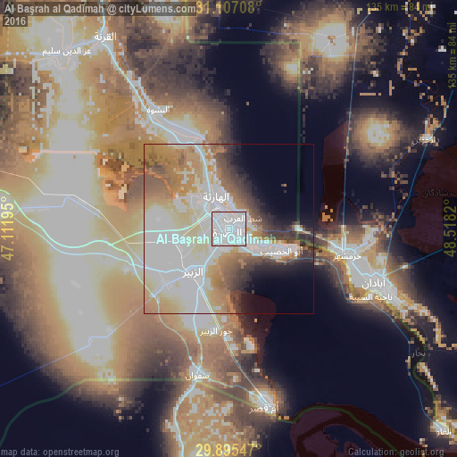
Analysis of Al Başrah al Qadīmah night lights 2016
Square area 10x10 km:
 83.88%
90-99
15.75%80-89
0.37%70-79
0%60-69
0%50-59
0%40-49
0%30-39
0%20-29
0%10-19
0%0-9
0%Square area 50x50 km:
18.44%90-99
13.25%80-89
6.93%70-79
6.83%60-69
8.58%50-59
4.66%40-49
3.78%30-39
4.15%20-29
4.09%10-19
4.32%0-9
24.96%Clear (daylight) street map image can be seen on geolist.org.
Map coordinates:
31° 6' 25.5" North, 47° 6' 43" East
30° 30' 11.4" North, 47° 48' 54.3" East
29° 53' 43.7" North, 48° 31' 5.5" East
Some cities around Al Başrah al Qadīmah sort by population:
• Basrah
3.4 km =2.1 mi,  280°
280°
• Abadan, IR
50.3 km =31.3 mi,  111°
111°
• Khorramshahr, IR
36.1 km =22.4 mi,  101°
101°
• Az Zubayr
16.4 km =10.2 mi,  221°
221°
• Umm Qaşr
52.9 km =32.9 mi,  169°
169°
• Al Fāw
86.3 km =53.6 mi,  132°
132°
• Al Hārithah
10.4 km =6.5 mi,  330°
330°
• Shādegān, IR
83 km =51.6 mi,  78°
78°
388349 (p: 2,015,483)
Sources (retrieved 2019-11-25):
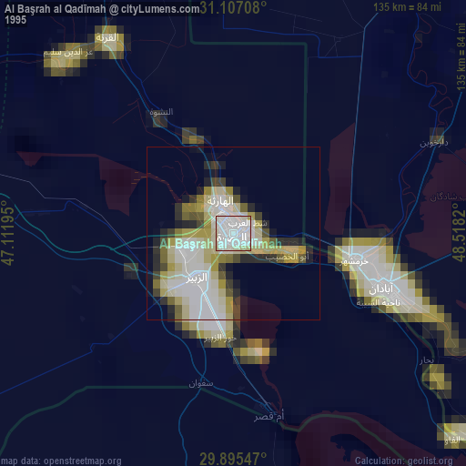
» NASA, Earths city lights 1995
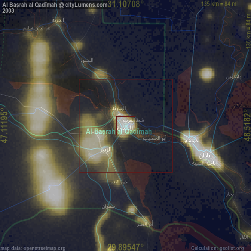
» NASA city lights 2003
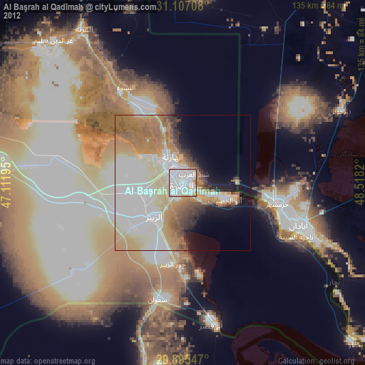
» Earth at Night: Flat Maps 2012, 2016