Abū Ghurayb night lights from space
Night Light of Abū Ghurayb (Baghdad) from space (Iraq) Src. Average luminocity for 10x10km area is 90.3759% and for 50x50km: 66.8165%.
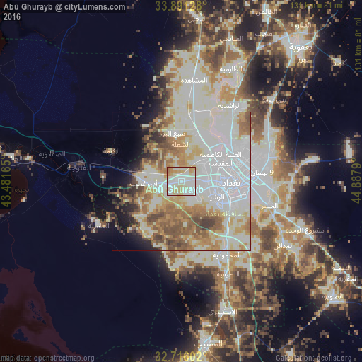
Analysis of Abū Ghurayb night lights 2016
Square area 10x10 km:
 14.86%
90-99
53.15%80-89
17.31%70-79
9.79%60-69
4.9%50-59
0%40-49
0%30-39
0%20-29
0%10-19
0%0-9
0%Square area 50x50 km:
17.69%90-99
24.44%80-89
7.03%70-79
7.44%60-69
8.03%50-59
7.75%40-49
4.9%30-39
3.38%20-29
2.85%10-19
4.79%0-9
11.7%Clear (daylight) street map image can be seen on geolist.org.
Map coordinates:
33° 53' 28.6" North, 43° 28' 53.9" East
33° 18' 20.3" North, 44° 11' 5.2" East
32° 42' 57.7" North, 44° 53' 16.4" East
Some cities around Abū Ghurayb sort by population:
• Baghdad
20.5 km =12.7 mi,  79°
79°
• Al Fallūjah
37.4 km =23.2 mi,  277°
277°
• Baqubah
63.3 km =39.3 mi,  38°
38°
• Khāliş
64.5 km =40.1 mi,  30°
30°
• Al Musayyib
59.4 km =36.9 mi,  170°
170°
• Aş Şuwayrah
69.4 km =43.1 mi,  127°
127°
• Nāḩīyat Saddat al Hindīyah
66.2 km =41.1 mi, 172°
• Ad Dujayl
60.3 km =37.5 mi,  4°
4°
100077 (p: 900,000)
Sources (retrieved 2019-11-25):
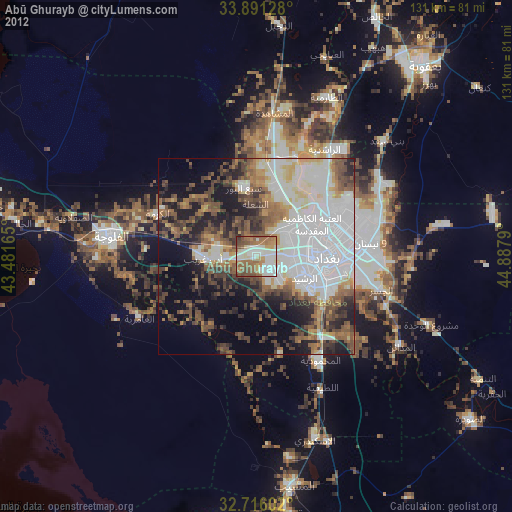
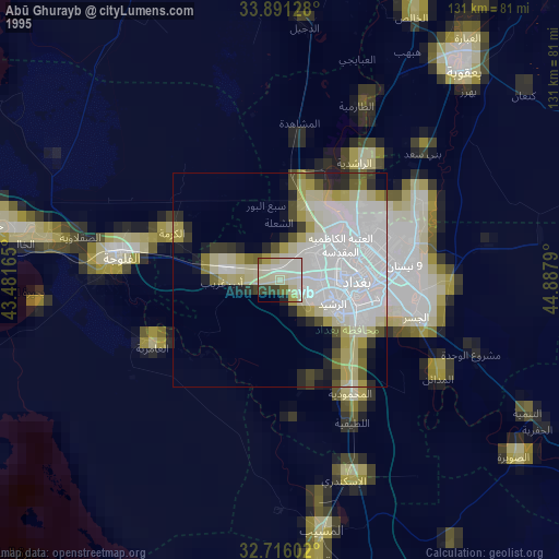
» NASA, Earths city lights 1995
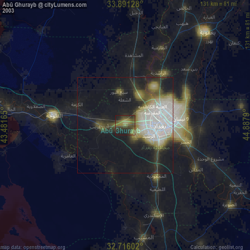
» NASA city lights 2003
» Earth at Night: Flat Maps 2012, 2016