Al Musayyib night lights from space
Night Light of Al Musayyib (Bābil) from space (Iraq) Src. Average luminocity for 10x10km area is 69.4703% and for 50x50km: 38.1405%.
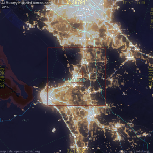
Analysis of Al Musayyib night lights 2016
Square area 10x10 km:
 6.12%
6.12%90-99
27.8%80-89
9.27%70-79
7.52%60-69
13.46%50-59
9.44%40-49
10.31%30-39
11.19%20-29
4.72%10-19
0.17%0-9
0%Square area 50x50 km:
1.83%90-99
7.81%80-89
4.5%70-79
4.93%60-69
7.78%50-59
8.02%40-49
9.12%30-39
9.82%20-29
10.55%10-19
10.76%0-9
24.88%Clear (daylight) street map image can be seen on geolist.org.
Map coordinates:
33° 22' 4.5" North, 43° 35' 12.9" East
32° 46' 43.4" North, 44° 17' 24.2" East
32° 11' 8.2" North, 44° 59' 35.4" East
Some cities around Al Musayyib sort by population:
• Baghdad
63.3 km =39.3 mi,  9°
9°
• Abū Ghurayb
59.4 km =36.9 mi,  350°
350°
• Karbala
30.7 km =19.1 mi,  233°
233°
• Al Ḩillah
37.1 km =23.1 mi,  160°
160°
• Al Hindīyah
26.5 km =16.5 mi,  192°
192°
• Aş Şuwayrah
48.2 km =30 mi,  70°
70°
• Imam Qasim
64.9 km =40.3 mi,  145°
145°
• Nāḩīyat Saddat al Hindīyah
7.1 km =4.4 mi, 188°
99039 (p: 42,901)
Sources (retrieved 2019-11-25):
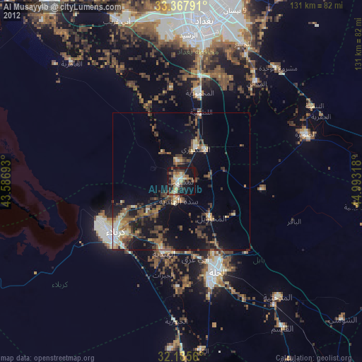
» Earth at Night: Flat Maps 2012, 2016