Zamānia night lights from space
Night Light of Zamānia (Uttar Pradesh) from space (India) Src. Average luminocity for 10x10km area is 32.5397% and for 50x50km: 24.0333%.
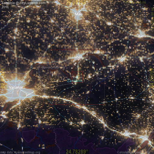
Analysis of Zamānia night lights 2016
Square area 10x10 km:
 1.19%
1.19%90-99
1.98%80-89
3.97%70-79
7.34%60-69
4.76%50-59
4.17%40-49
3.97%30-39
10.12%20-29
13.49%10-19
47.42%0-9
1.59%Square area 50x50 km:
1.61%90-99
2.13%80-89
1.76%70-79
2.24%60-69
3.5%50-59
4.4%40-49
5.62%30-39
7.18%20-29
10.21%10-19
26.97%0-9
34.38%Clear (daylight) street map image can be seen on geolist.org.
Map coordinates:
26° 3' 10.7" North, 82° 51' 17.1" East
25° 25' 10.6" North, 83° 33' 28.3" East
24° 46' 58.4" North, 84° 15' 39.6" East
Some cities around Zamānia sort by population:
• Ghazīpur
18.4 km =11.4 mi,  8°
8°
• Mughal Sarāi
46.6 km =29 mi,  250°
250°
• Buxar
45.8 km =28.5 mi,  67°
67°
• Bhabhua
42.4 km =26.3 mi,  173°
173°
• Muhammadābād
29.8 km =18.5 mi,  41°
41°
• Chandauli
34.2 km =21.3 mi,  238°
238°
• Saidpur
36 km =22.4 mi,  291°
291°
• Sādāt
37.9 km =23.5 mi,  317°
317°
1252692 (p: 32,008)
Sources (retrieved 2019-11-25):
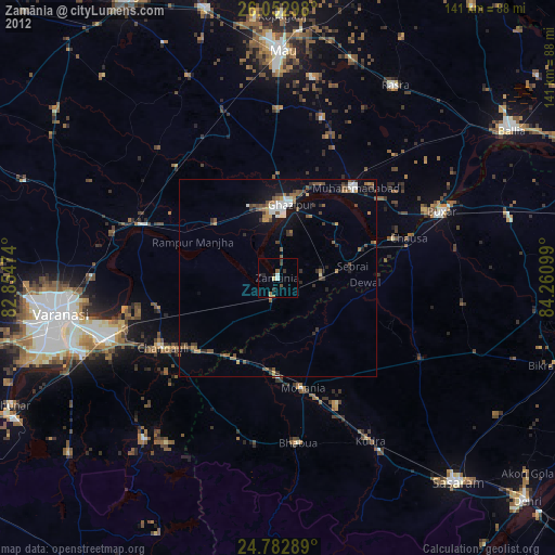
» Earth at Night: Flat Maps 2012, 2016