Mughal Sarāi night lights from space
Night Light of Mughal Sarāi (Uttar Pradesh) from space (India) Src. Average luminocity for 10x10km area is 92.6409% and for 50x50km: 47.2389%.
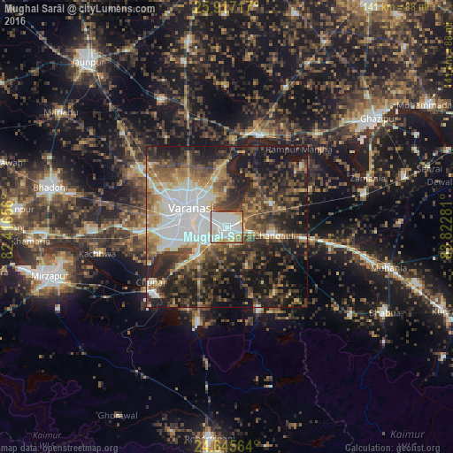
Analysis of Mughal Sarāi night lights 2016
Square area 10x10 km:
 42.66%
90-99
32.74%80-89
10.71%70-79
5.95%60-69
3.17%50-59
4.17%40-49
0.6%30-39
0%20-29
0%10-19
0%0-9
0%Square area 50x50 km:
10.32%90-99
7.28%80-89
3.48%70-79
5.54%60-69
6.35%50-59
8.22%40-49
9.62%30-39
9.98%20-29
13.86%10-19
20.61%0-9
4.75%Clear (daylight) street map image can be seen on geolist.org.
Map coordinates:
25° 55' 1.8" North, 82° 24' 59.6" East
25° 16' 59.1" North, 83° 7' 10.8" East
24° 38' 44.3" North, 83° 49' 22.1" East
Some cities around Mughal Sarāi sort by population:
• Varanasi
11.6 km =7.2 mi,  288°
288°
• Rāmnagar
9.2 km =5.7 mi,  260°
260°
• Chunār
29.5 km =18.3 mi,  234°
234°
• Ahraura
31 km =19.3 mi,  196°
196°
• Chandauli
15.2 km =9.4 mi,  100°
100°
• Saidpur
30.2 km =18.8 mi,  20°
20°
• Chakia
28 km =17.4 mi,  158°
158°
• Barāgaon
34.5 km =21.4 mi,  298°
298°
1262634 (p: 98,043)
Sources (retrieved 2019-11-25):
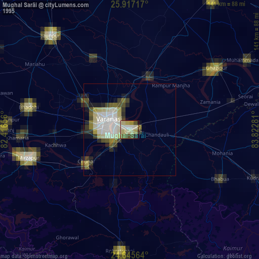
» NASA, Earths city lights 1995
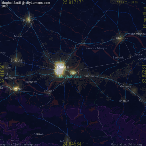
» NASA city lights 2003
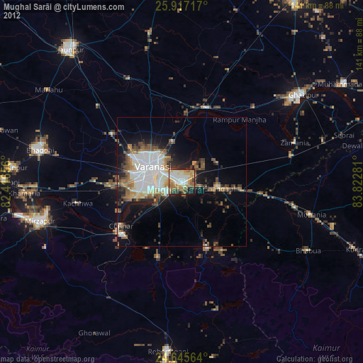
» Earth at Night: Flat Maps 2012, 2016