Buxar night lights from space
Night Light of Buxar (Bihar) from space (India) Src. Average luminocity for 10x10km area is 53.1553% and for 50x50km: 23.9297%.
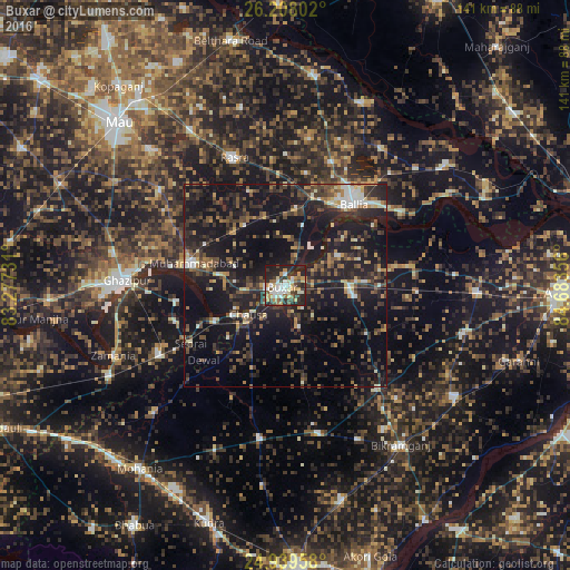
Analysis of Buxar night lights 2016
Square area 10x10 km:
 8.9%
8.9%90-99
10.8%80-89
5.49%70-79
11.36%60-69
4.36%50-59
6.44%40-49
7.95%30-39
10.98%20-29
23.3%10-19
10.42%0-9
0%Square area 50x50 km:
1.57%90-99
2.57%80-89
1.72%70-79
2.48%60-69
2.48%50-59
3.64%40-49
5.62%30-39
6.21%20-29
11.55%10-19
29.35%0-9
32.81%Clear (daylight) street map image can be seen on geolist.org.
Map coordinates:
26° 12' 28.9" North, 83° 16' 38.3" East
25° 34' 31.7" North, 83° 58' 49.5" East
24° 56' 22.5" North, 84° 41' 0.8" East
Some cities around Buxar sort by population:
• Ghazīpur
39.6 km =24.6 mi,  271°
271°
• Dumraon
17.3 km =10.7 mi,  98°
98°
• Muhammadābād
23 km =14.3 mi,  282°
282°
• Rasrā
33.8 km =21 mi,  338°
338°
• Jagdīspur
45.6 km =28.3 mi,  105°
105°
• Bānsdīh
41.7 km =25.9 mi,  34°
34°
• Koāth
39.4 km =24.5 mi,  134°
134°
• Shāhpur
42.6 km =26.5 mi,  85°
85°
1275019 (p: 96,120)
Sources (retrieved 2019-11-25):
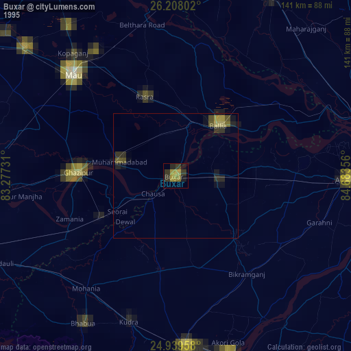
» NASA, Earths city lights 1995
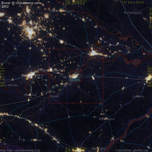
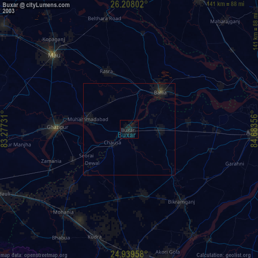
» NASA city lights 2003
» Earth at Night: Flat Maps 2012, 2016