Ghazīpur night lights from space
Night Light of Ghazīpur (Uttar Pradesh) from space (India) Src. Average luminocity for 10x10km area is 67.4375% and for 50x50km: 29.0952%.
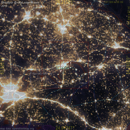
Analysis of Ghazīpur night lights 2016
Square area 10x10 km:
 18.18%
90-99
17.42%80-89
8.52%70-79
4.73%60-69
8.9%50-59
7.2%40-49
10.04%30-39
16.29%20-29
6.63%10-19
2.08%0-9
0%Square area 50x50 km:
1.46%90-99
2.02%80-89
1.94%70-79
2.75%60-69
4.48%50-59
5.6%40-49
8.09%30-39
10.3%20-29
13.86%10-19
33.6%0-9
15.9%Clear (daylight) street map image can be seen on geolist.org.
Map coordinates:
26° 12' 57" North, 82° 52' 55.7" East
25° 34' 60" North, 83° 35' 6.9" East
24° 56' 50.9" North, 84° 17' 18.2" East
Some cities around Ghazīpur sort by population:
• Mau
39.9 km =24.8 mi,  356°
356°
• Buxar
39.6 km =24.6 mi,  91°
91°
• Muhammadābād
17.6 km =10.9 mi,  76°
76°
• Zamānia
18.4 km =11.4 mi,  188°
188°
• Rasrā
40.7 km =25.3 mi,  41°
41°
• Chandauli
48.2 km =30 mi,  221°
221°
• Saidpur
36.6 km =22.7 mi,  261°
261°
• Sādāt
30 km =18.6 mi,  289°
289°
1271306 (p: 103,095)
Sources (retrieved 2019-11-25):
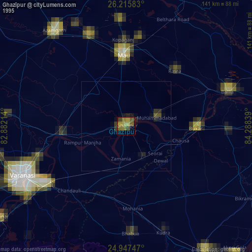
» NASA, Earths city lights 1995
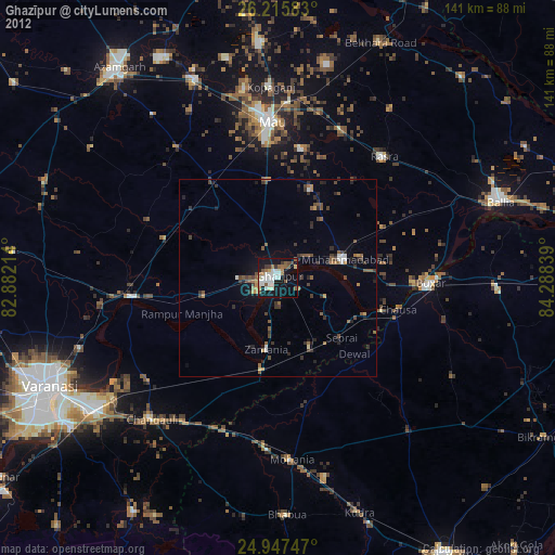
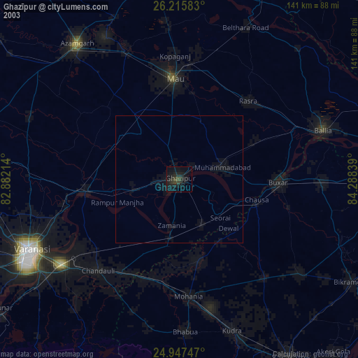
» NASA city lights 2003
» Earth at Night: Flat Maps 2012, 2016