Wokha night lights from space
Night Light of Wokha (Nagaland) from space (India) Src. Average luminocity for 10x10km area is 6.8532% and for 50x50km: 1.3039%.
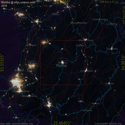
Analysis of Wokha night lights 2016
Square area 10x10 km:
 0.99%
0.99%90-99
0.6%80-89
0.79%70-79
0.79%60-69
2.78%50-59
0.4%40-49
0.99%30-39
0.6%20-29
0.79%10-19
0%0-9
91.27%Square area 50x50 km:
0.12%90-99
0.1%80-89
0.11%70-79
0.13%60-69
0.19%50-59
0.32%40-49
0.42%30-39
0.27%20-29
0.3%10-19
0.32%0-9
97.72%Clear (daylight) street map image can be seen on geolist.org.
Map coordinates:
26° 43' 36.8" North, 93° 33' 18.2" East
26° 5' 49.8" North, 94° 15' 29.4" East
25° 27' 50.5" North, 94° 57' 40.7" East
Some cities around Wokha sort by population:
• Kohima
49.2 km =30.6 mi,  197°
197°
• Golāghāt
54.9 km =34.1 mi,  327°
327°
• Mokokchūng
36.3 km =22.6 mi,  45°
45°
• Zunheboto
29.6 km =18.4 mi,  119°
119°
• Bokajān
48.6 km =30.2 mi,  259°
259°
• Phek
53.6 km =33.3 mi,  153°
153°
• Titābar
56.3 km =35 mi,  354°
354°
• Barpathār
42.5 km =26.4 mi,  299°
299°
1252840 (p: 54,010)
Sources (retrieved 2019-11-25):
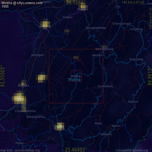
» NASA, Earths city lights 1995
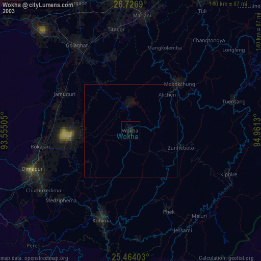
» NASA city lights 2003
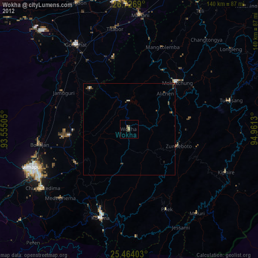
» Earth at Night: Flat Maps 2012, 2016