Mokokchūng night lights from space
Night Light of Mokokchūng (Nagaland) from space (India) Src. Average luminocity for 10x10km area is 5.2121% and for 50x50km: 0.4778%.

Analysis of Mokokchūng night lights 2016
Square area 10x10 km:
 0.38%
0.38%90-99
1.14%80-89
0%70-79
0.76%60-69
0%50-59
2.46%40-49
1.33%30-39
0.19%20-29
1.33%10-19
0%0-9
92.42%Square area 50x50 km:
0.02%90-99
0.05%80-89
0%70-79
0.06%60-69
0%50-59
0.15%40-49
0.24%30-39
0.08%20-29
0.28%10-19
0.13%0-9
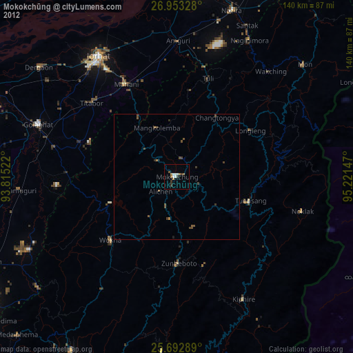
99%Clear (daylight) street map image can be seen on geolist.org.
Map coordinates:
26° 57' 11.8" North, 93° 48' 54.8" East
26° 19' 29.3" North, 94° 31' 6" East
25° 41' 34.4" North, 95° 13' 17.3" East
Some cities around Mokokchūng sort by population:
• Jorhāt
57.4 km =35.7 mi,  326°
326°
• Wokha
36.3 km =22.6 mi,  225°
225°
• Golāghāt
59.4 km =36.9 mi,  290°
290°
• Tuensang
31.2 km =19.4 mi,  101°
101°
• Zunheboto
39.8 km =24.7 mi,  180°
180°
• Mariāni
42.1 km =26.2 mi, 331°
• Amguri
54.5 km =33.9 mi,  0°
0°
• Titābar
43.9 km =27.3 mi,  314°
314°
1262843 (p: 34,021)
Sources (retrieved 2019-11-25):
» Earth at Night: Flat Maps 2012, 2016