Kohima night lights from space
Night Light of Kohima (Nagaland) from space (India) Src. Average luminocity for 10x10km area is 24.5076% and for 50x50km: 1.665%.
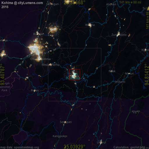
Analysis of Kohima night lights 2016
Square area 10x10 km:
 3.41%
3.41%90-99
7.77%80-89
0.95%70-79
0.76%60-69
3.41%50-59
2.08%40-49
3.41%30-39
2.65%20-29
2.84%10-19
25.19%0-9
47.54%Square area 50x50 km:
0.14%90-99
0.32%80-89
0.04%70-79
0.17%60-69
0.25%50-59
0.24%40-49
0.32%30-39
0.35%20-29
0.26%10-19
1.16%0-9
96.75%Clear (daylight) street map image can be seen on geolist.org.
Map coordinates:
26° 18' 24" North, 93° 24' 28.3" East
25° 40' 28.8" North, 94° 6' 39.6" East
25° 2' 21.4" North, 94° 48' 50.8" East
Some cities around Kohima sort by population:
• Dimāpur
47 km =29.2 mi,  304°
304°
• Diphu
70.6 km =43.9 mi,  285°
285°
• Wokha
49.2 km =30.6 mi,  17°
17°
• Mokokchūng
83 km =51.6 mi,  29°
29°
• Zunheboto
52 km =32.3 mi,  51°
51°
• Bokajān
50.9 km =31.6 mi,  319°
319°
• Phek
39 km =24.2 mi,  91°
91°
• Barpathār
71.6 km =44.5 mi,  341°
341°
1266366 (p: 92,113)
Sources (retrieved 2019-11-25):
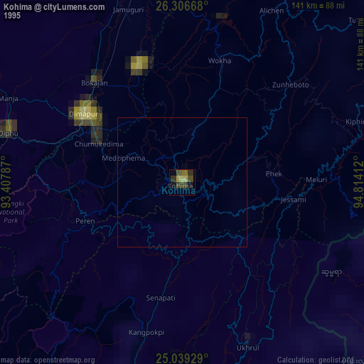
» NASA, Earths city lights 1995
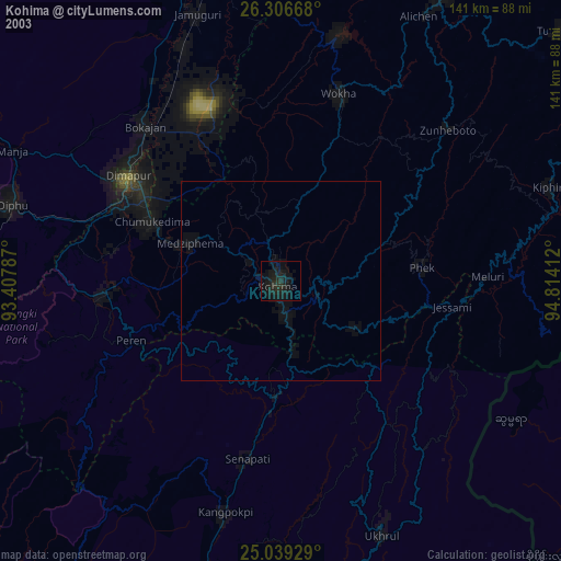
» NASA city lights 2003
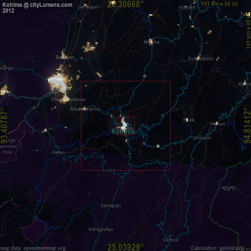
» Earth at Night: Flat Maps 2012, 2016