Golāghāt night lights from space
Night Light of Golāghāt (Assam) from space (India) Src. Average luminocity for 10x10km area is 12.0019% and for 50x50km: 4.1187%.
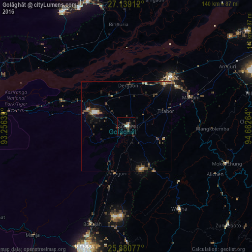
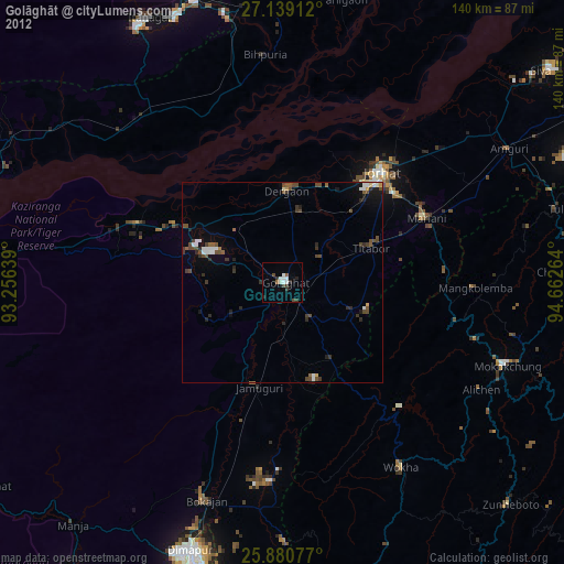
Analysis of Golāghāt night lights 2016
Square area 10x10 km:
 0.76%
0.76%90-99
2.27%80-89
0%70-79
0%60-69
2.08%50-59
2.46%40-49
3.41%30-39
3.41%20-29
4.55%10-19
1.14%0-9
79.92%Square area 50x50 km:
0.25%90-99
0.45%80-89
0.22%70-79
0.35%60-69
0.35%50-59
0.86%40-49
1.21%30-39
1.3%20-29
1.15%10-19
2.38%0-9
91.48%Clear (daylight) street map image can be seen on geolist.org.
Map coordinates:
27° 8' 20.8" North, 93° 15' 23" East
26° 30' 42" North, 93° 57' 34.2" East
25° 52' 50.8" North, 94° 39' 45.5" East
Some cities around Golāghāt sort by population:
• Jorhāt
36.5 km =22.7 mi,  41°
41°
• Mariāni
38.9 km =24.2 mi,  65°
65°
• Dergaon
21 km =13 mi,  1°
1°
• Gohpur
53.5 km =33.2 mi,  320°
320°
• Bokākhāt
38.5 km =23.9 mi,  291°
291°
• Titābar
26.3 km =16.3 mi, 67°
• Barpathār
26 km =16.2 mi,  195°
195°
• Numāligarh
26.6 km =16.5 mi,  297°
297°
1271050 (p: 34,372)
Sources (retrieved 2019-11-25):
» Earth at Night: Flat Maps 2012, 2016