Valparai night lights from space
Night Light of Valparai (Tamil Nadu) from space (India) Src. Average luminocity for 10x10km area is 0% and for 50x50km: 0.3614%.
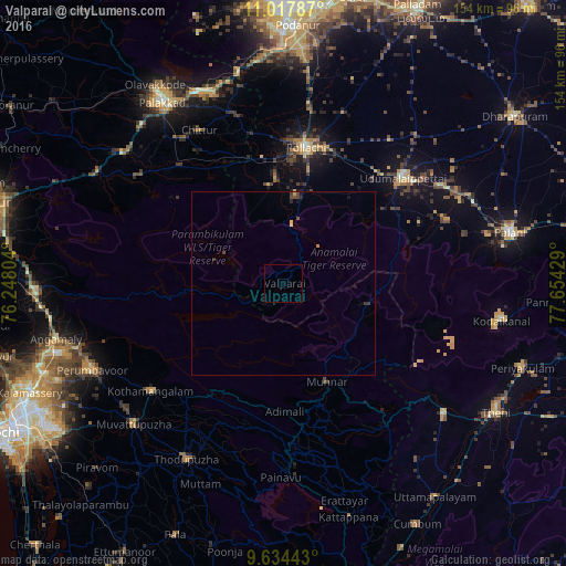
Analysis of Valparai night lights 2016
Square area 10x10 km:
 0%
0%90-99
0%80-89
0%70-79
0%60-69
0%50-59
0%40-49
0%30-39
0%20-29
0%10-19
0%0-9
100%Square area 50x50 km:
0%90-99
0%80-89
0.07%70-79
0.05%60-69
0.03%50-59
0.03%40-49
0.18%30-39
0.12%20-29
0.1%10-19
0.19%0-9
99.24%Clear (daylight) street map image can be seen on geolist.org.
Map coordinates:
11° 1' 4.3" North, 76° 14' 52.9" East
10° 19' 36.9" North, 76° 57' 4.2" East
9° 38' 3.9" North, 77° 39' 15.4" East
Some cities around Valparai sort by population:
• Pollachi
37.4 km =23.2 mi,  9°
9°
• Munnar
29.2 km =18.1 mi,  155°
155°
• Udumalaippettai
43.5 km =27 mi,  48°
48°
• Kuttampuzha
30.7 km =19.1 mi,  230°
230°
• Marayur
23.7 km =14.7 mi,  103°
103°
• Vettaikkaranpudur
26.5 km =16.5 mi,  350°
350°
• Anamalais
28.5 km =17.7 mi,  356°
356°
• Dhali
33 km =20.5 mi, 51°
1253472 (p: 90,353)
Sources (retrieved 2019-11-25):
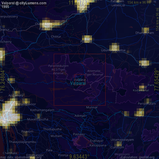
» NASA, Earths city lights 1995
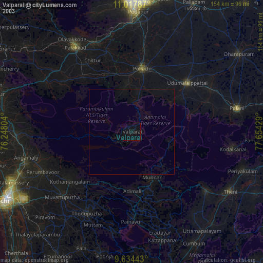
» NASA city lights 2003
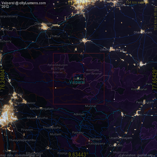
» Earth at Night: Flat Maps 2012, 2016