Udumalaippettai night lights from space
Night Light of Udumalaippettai (Tamil Nadu) from space (India) Src. Average luminocity for 10x10km area is 31.2025% and for 50x50km: 5.6912%.
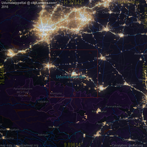
Analysis of Udumalaippettai night lights 2016
Square area 10x10 km:
 0.62%
0.62%90-99
5.99%80-89
3.31%70-79
7.64%60-69
3.1%50-59
2.89%40-49
6.2%30-39
5.79%20-29
8.68%10-19
38.64%0-9
17.15%Square area 50x50 km:
0.03%90-99
0.31%80-89
0.51%70-79
0.86%60-69
0.77%50-59
0.69%40-49
1.54%30-39
1.72%20-29
1.65%10-19
5.32%0-9
86.61%Clear (daylight) street map image can be seen on geolist.org.
Map coordinates:
11° 16' 42.3" North, 76° 32' 40.8" East
10° 35' 17" North, 77° 14' 52" East
9° 53' 46.1" North, 77° 57' 3.3" East
Some cities around Udumalaippettai sort by population:
• Pollachi
27.3 km =17 mi,  286°
286°
• Palani
33.6 km =20.9 mi,  117°
117°
• Anamalais
34.3 km =21.3 mi,  269°
269°
• Kumaralingam
15.7 km =9.8 mi,  134°
134°
• Periyapatti
19.1 km =11.9 mi,  7°
7°
• Periyanegamam
23.4 km =14.5 mi,  317°
317°
• Dhali
10.8 km =6.7 mi,  217°
217°
• Kīranūr
27.9 km =17.3 mi,  88°
88°
1253944 (p: 58,571)
Sources (retrieved 2019-11-25):
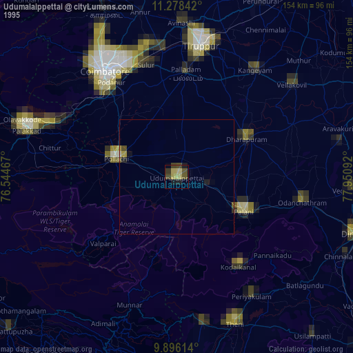
» NASA, Earths city lights 1995
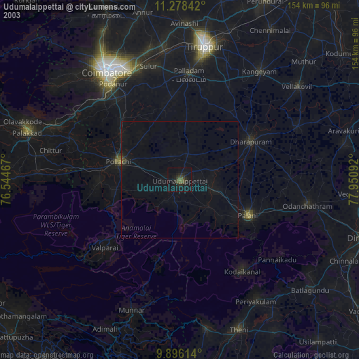
» NASA city lights 2003
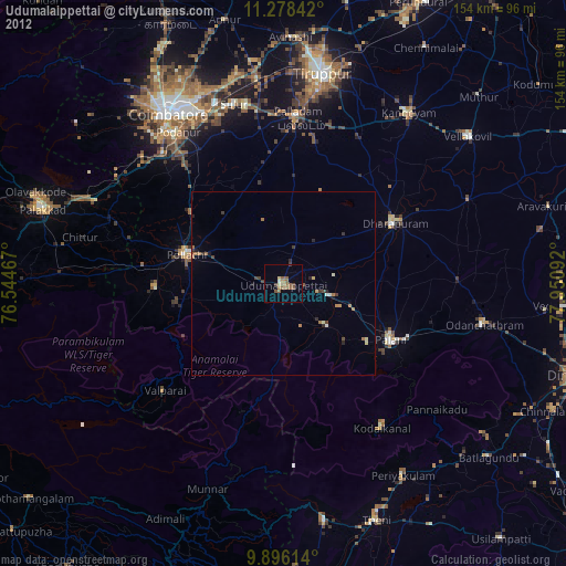
» Earth at Night: Flat Maps 2012, 2016