Munnar night lights from space
Night Light of Munnar (Kerala) from space (India) Src. Average luminocity for 10x10km area is 1.1281% and for 50x50km: 0.1877%.
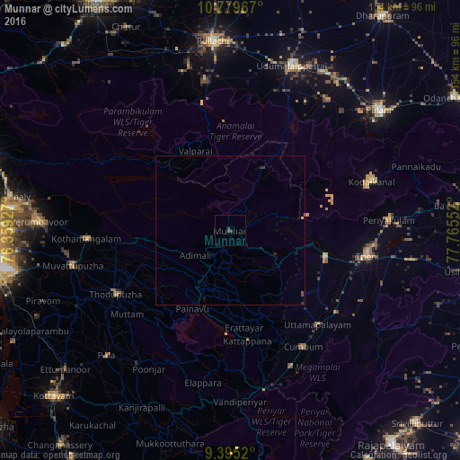
Analysis of Munnar night lights 2016
Square area 10x10 km:
 0%
0%90-99
0%80-89
0%70-79
0%60-69
0%50-59
0%40-49
1.65%30-39
0.83%20-29
0%10-19
0%0-9
97.52%Square area 50x50 km:
0%90-99
0%80-89
0.04%70-79
0.01%60-69
0%50-59
0%40-49
0.13%30-39
0.13%20-29
0.07%10-19
0.08%0-9
99.53%Clear (daylight) street map image can be seen on geolist.org.
Map coordinates:
10° 46' 46.8" North, 76° 21' 33.4" East
10° 5' 17.4" North, 77° 3' 44.6" East
9° 23' 42.7" North, 77° 45' 55.9" East
Some cities around Munnar sort by population:
• Valparai
29.2 km =18.1 mi,  335°
335°
• Bodināyakkanūr
32.6 km =20.3 mi,  105°
105°
• Chinnamanūr
44.5 km =27.7 mi,  128°
128°
• Kuttampuzha
36.4 km =22.6 mi,  280°
280°
• Marayur
23.6 km =14.7 mi,  27°
27°
• Uttamapālaiyam
42.6 km =26.5 mi,  137°
137°
• Kombai
37 km =23 mi, 136°
• Idukki
28.5 km =17.7 mi,  201°
201°
1262463 (p: 68,000)
Sources (retrieved 2019-11-25):
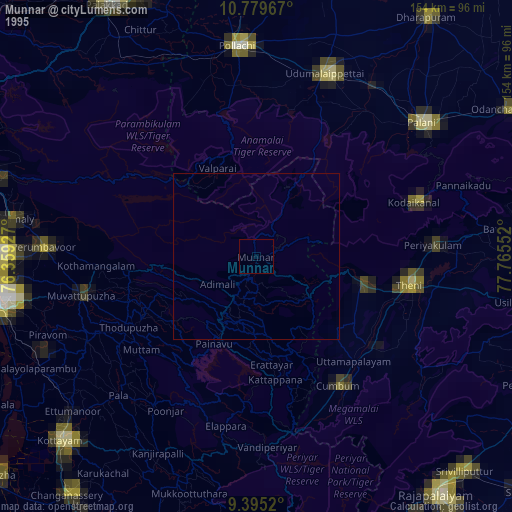
» NASA, Earths city lights 1995
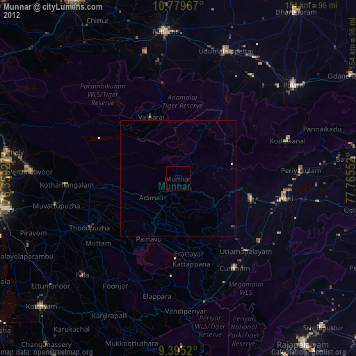
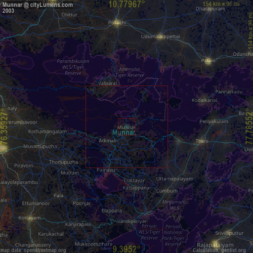
» NASA city lights 2003
» Earth at Night: Flat Maps 2012, 2016