Kopargaon night lights from space
Night Light of Kopargaon (Maharashtra) from space (India) Src. Average luminocity for 10x10km area is 37.132% and for 50x50km: 14.665%.
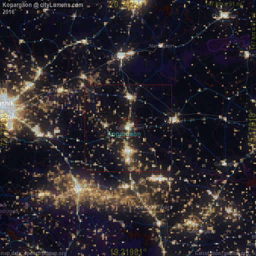
Analysis of Kopargaon night lights 2016
Square area 10x10 km:
 0.65%
0.65%90-99
9.74%80-89
2.6%70-79
4.55%60-69
2.81%50-59
8.23%40-49
6.49%30-39
7.36%20-29
17.32%10-19
39.18%0-9
1.08%Square area 50x50 km:
0.15%90-99
1.44%80-89
1.21%70-79
1.21%60-69
2.19%50-59
2.97%40-49
3.08%30-39
3.93%20-29
6.71%10-19
13.85%0-9
63.26%Clear (daylight) street map image can be seen on geolist.org.
Map coordinates:
20° 32' 32" North, 73° 46' 22.5" East
19° 52' 56.6" North, 74° 28' 33.8" East
19° 13' 11.3" North, 75° 10' 45" East
Some cities around Kopargaon sort by population:
• Manmād
41.4 km =25.7 mi,  354°
354°
• Sangamner
44.6 km =27.7 mi,  218°
218°
• Yeola
17.8 km =11.1 mi,  4°
4°
• Vaijāpur
26.7 km =16.6 mi,  79°
79°
• Sinnar
50.1 km =31.1 mi,  265°
265°
• Shirdi
12.9 km =8 mi,  179°
179°
• Nāndgaon
50.8 km =31.6 mi,  21°
21°
• Lāsalgaon
38.1 km =23.7 mi,  319°
319°
1266162 (p: 65,116)
Sources (retrieved 2019-11-25):
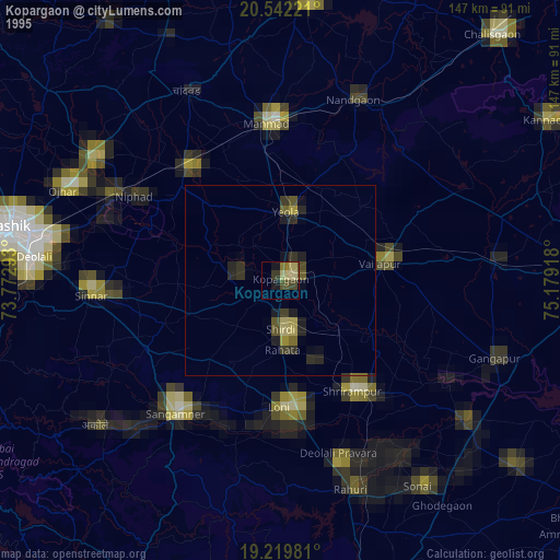
» NASA, Earths city lights 1995
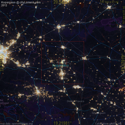
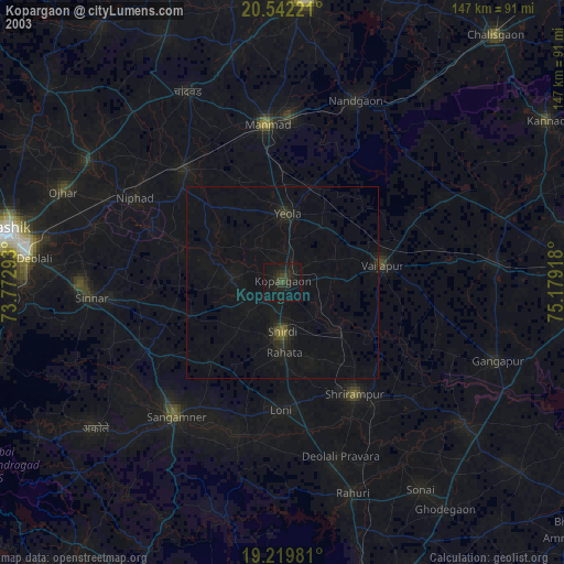
» NASA city lights 2003
» Earth at Night: Flat Maps 2012, 2016