Shirdi night lights from space
Night Light of Shirdi (Maharashtra) from space (India) Src. Average luminocity for 10x10km area is 55.1054% and for 50x50km: 21.3036%.
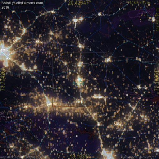
Analysis of Shirdi night lights 2016
Square area 10x10 km:
 2.27%
2.27%90-99
13.43%80-89
11.98%70-79
8.47%60-69
8.26%50-59
9.3%40-49
8.26%30-39
11.57%20-29
19.42%10-19
7.02%0-9
0%Square area 50x50 km:
0.16%90-99
2.34%80-89
1.91%70-79
2.39%60-69
3.35%50-59
5.2%40-49
4.36%30-39
5.91%20-29
10.71%10-19
17.09%0-9
46.57%Clear (daylight) street map image can be seen on geolist.org.
Map coordinates:
20° 25' 35.3" North, 73° 46' 27.3" East
19° 45' 58.2" North, 74° 28' 38.6" East
19° 6' 11.2" North, 75° 10' 49.8" East
Some cities around Shirdi sort by population:
• Manmād
54.3 km =33.7 mi,  355°
355°
• Sangamner
35.5 km =22.1 mi,  231°
231°
• Kopargaon
12.9 km =8 mi, 359°
• Yeola
30.7 km =19.1 mi,  2°
2°
• Vaijāpur
31.7 km =19.7 mi,  55°
55°
• Rāhuri
45.5 km =28.3 mi,  156°
156°
• Sinnar
50.8 km =31.6 mi,  279°
279°
• Lāsalgaon
48.7 km =30.3 mi,  329°
329°
1256489 (p: 31,978)
Sources (retrieved 2019-11-25):
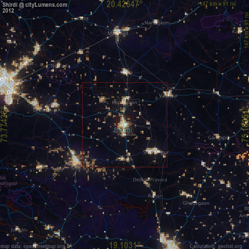
» Earth at Night: Flat Maps 2012, 2016