Borsad night lights from space
Night Light of Borsad (Gujarat) from space (India) Src. Average luminocity for 10x10km area is 35.1042% and for 50x50km: 31.9958%.
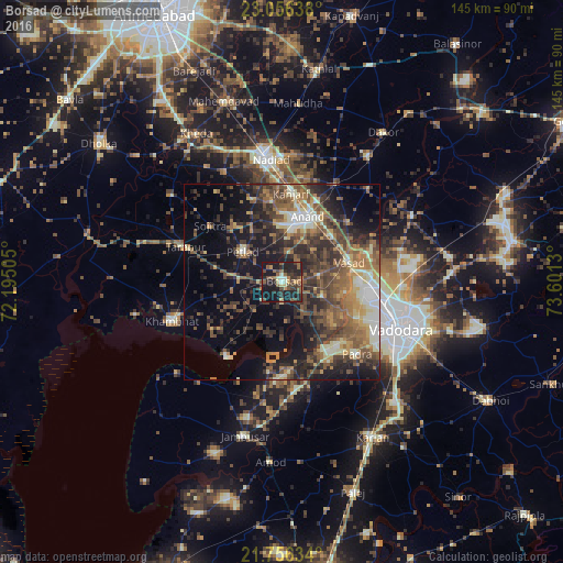
Analysis of Borsad night lights 2016
Square area 10x10 km:
 0.38%
0.38%90-99
3.98%80-89
3.03%70-79
4.17%60-69
4.73%50-59
9.28%40-49
10.42%30-39
7.77%20-29
20.45%10-19
35.04%0-9
0.76%Square area 50x50 km:
1.46%90-99
5.15%80-89
3.56%70-79
3.82%60-69
5.91%50-59
8.09%40-49
7%30-39
7.92%20-29
9.87%10-19
14.51%0-9
32.72%Clear (daylight) street map image can be seen on geolist.org.
Map coordinates:
23° 3' 23" North, 72° 11' 42.2" East
22° 24' 28.4" North, 72° 53' 53.4" East
21° 45' 22.8" North, 73° 36' 4.7" East
Some cities around Borsad sort by population:
• Anand
17.1 km =10.6 mi,  20°
20°
• Petlād
12.7 km =7.9 mi,  307°
307°
• Chaklāsi
27.7 km =17.2 mi,  9°
9°
• Padra
26.8 km =16.7 mi,  134°
134°
• Vallabh Vidyanagar
13.9 km =8.6 mi,  0°
0°
• Karamsad
15 km =9.3 mi, 2°
• Sojītra
23.4 km =14.5 mi, 308°
• Dhuwaran
23.7 km =14.7 mi,  217°
217°
1275230 (p: 60,271)
Sources (retrieved 2019-11-25):
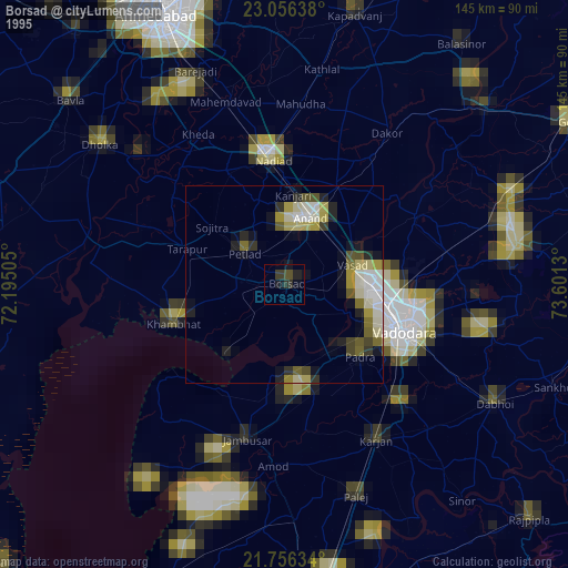
» NASA, Earths city lights 1995
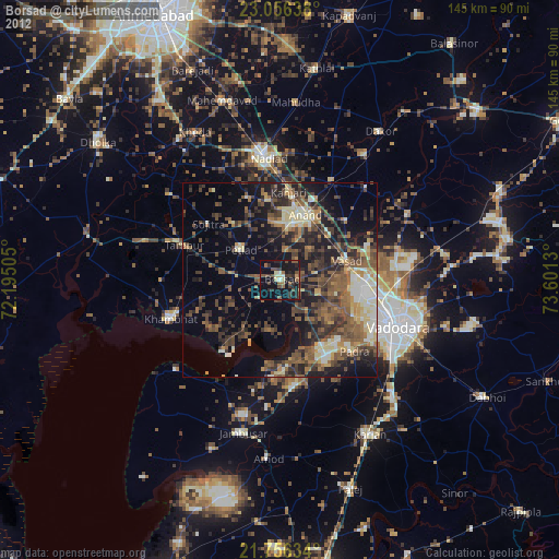
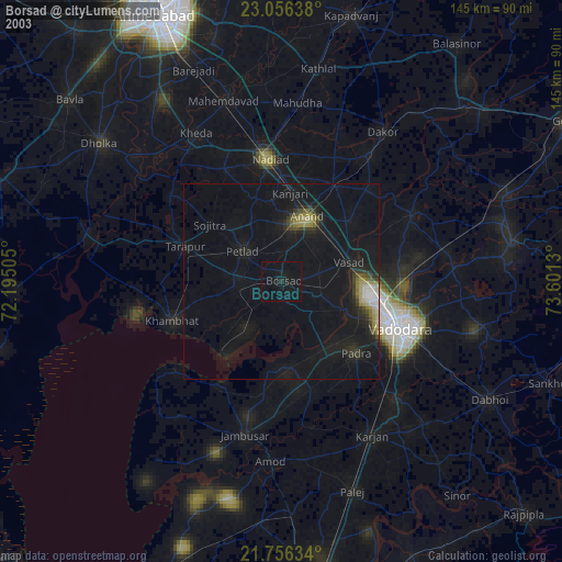
» NASA city lights 2003
» Earth at Night: Flat Maps 2012, 2016