Anand night lights from space
Night Light of Anand (Gujarat) from space (India) Src. Average luminocity for 10x10km area is 77.3182% and for 50x50km: 34.3741%.
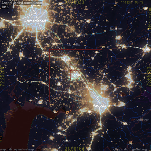
Analysis of Anand night lights 2016
Square area 10x10 km:
 7.95%
7.95%90-99
35.8%80-89
12.88%70-79
7.39%60-69
11.55%50-59
12.31%40-49
7.39%30-39
4.73%20-29
0%10-19
0%0-9
0%Square area 50x50 km:
2.25%90-99
6.03%80-89
3.85%70-79
3.72%60-69
6.34%50-59
7.82%40-49
7.81%30-39
7.93%20-29
10.1%10-19
16.34%0-9
27.81%Clear (daylight) street map image can be seen on geolist.org.
Map coordinates:
23° 12' 1.2" North, 72° 15' 7.5" East
22° 33' 9" North, 72° 57' 18.7" East
21° 54' 5.9" North, 73° 39' 30" East
Some cities around Anand sort by population:
• Nadiād
18.4 km =11.4 mi,  328°
328°
• Borsad
17.1 km =10.6 mi,  200°
200°
• Petlād
18 km =11.2 mi,  242°
242°
• Chaklāsi
11.2 km =7 mi,  354°
354°
• Umreth
23.1 km =14.4 mi,  45°
45°
• Vallabh Vidyanagar
6.1 km =3.8 mi,  249°
249°
• Karamsad
5.4 km =3.4 mi,  257°
257°
• Vasa
23.8 km =14.8 mi,  300°
300°
1278685 (p: 138,009)
Sources (retrieved 2019-11-25):
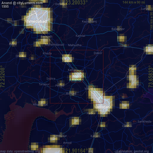
» NASA, Earths city lights 1995
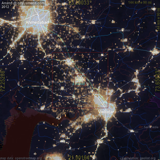
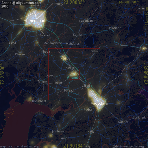
» NASA city lights 2003
» Earth at Night: Flat Maps 2012, 2016