Hālol night lights from space
Night Light of Hālol (Gujarat) from space (India) Src. Average luminocity for 10x10km area is 53.2008% and for 50x50km: 14.5415%.
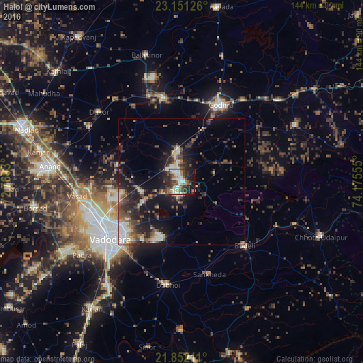
Analysis of Hālol night lights 2016
Square area 10x10 km:
 4.17%
4.17%90-99
16.29%80-89
7.58%70-79
6.25%60-69
7.01%50-59
7.77%40-49
9.66%30-39
9.85%20-29
14.96%10-19
16.29%0-9
0.19%Square area 50x50 km:
0.84%90-99
2.71%80-89
1.62%70-79
1.21%60-69
1.64%50-59
2.46%40-49
2.95%30-39
3.38%20-29
5.58%10-19
11.57%0-9
66.06%Clear (daylight) street map image can be seen on geolist.org.
Map coordinates:
23° 9' 4.5" North, 72° 46' 9.5" East
22° 30' 11.6" North, 73° 28' 20.7" East
21° 51' 7.6" North, 74° 10' 32" East
Some cities around Hālol sort by population:
• Vadodara
35.4 km =22 mi,  230°
230°
• Godhra
33.6 km =20.9 mi,  25°
25°
• Vejalpur
22.8 km =14.2 mi,  24°
24°
• Dabhoi
35.8 km =22.2 mi,  186°
186°
• Kālol
11.7 km =7.3 mi,  355°
355°
• Vāghodia
23.3 km =14.5 mi,  198°
198°
• Sankheda
38.6 km =24 mi,  163°
163°
• Shivrājpur
16.6 km =10.3 mi,  122°
122°
1270474 (p: 45,741)
Sources (retrieved 2019-11-25):
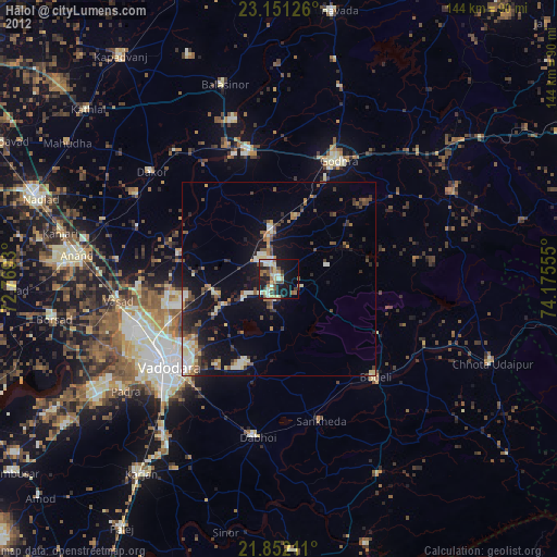
» Earth at Night: Flat Maps 2012, 2016