Uravakonda night lights from space
Night Light of Uravakonda (Andhra Pradesh) from space (India) Src. Average luminocity for 10x10km area is 12.3574% and for 50x50km: 4.5652%.
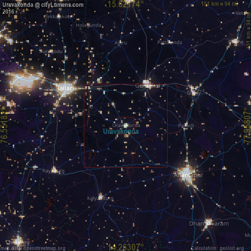
Analysis of Uravakonda night lights 2016
Square area 10x10 km:
 0%
0%90-99
2.07%80-89
1.24%70-79
2.07%60-69
0.62%50-59
2.69%40-49
1.65%30-39
2.07%20-29
0.83%10-19
2.27%0-9
84.5%Square area 50x50 km:
0.17%90-99
0.61%80-89
0.34%70-79
0.55%60-69
0.51%50-59
0.88%40-49
0.83%30-39
1.26%20-29
0.9%10-19
1.84%0-9
92.12%Clear (daylight) street map image can be seen on geolist.org.
Map coordinates:
15° 37' 18.3" North, 76° 33' 6.6" East
14° 56' 36.5" North, 77° 15' 17.8" East
14° 15' 47.1" North, 77° 57' 29.1" East
Some cities around Uravakonda sort by population:
• Bellary
41.8 km =26 mi,  301°
301°
• Anantapur
48.1 km =29.9 mi,  127°
127°
• Ādoni
76.1 km =47.3 mi,  1°
1°
• Guntakal Junction
27.8 km =17.3 mi,  24°
24°
• Rāyadrug
51.1 km =31.8 mi,  237°
237°
• Kalyandurg
47.1 km =29.3 mi,  199°
199°
• Hosakote
74.8 km =46.5 mi,  187°
187°
• Rāmāpuram
76 km =47.2 mi,  59°
59°
1253698 (p: 33,495)
Sources (retrieved 2019-11-25):
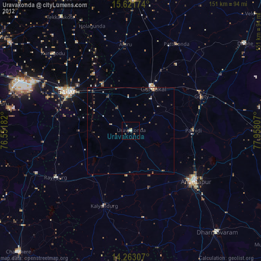
» Earth at Night: Flat Maps 2012, 2016