Anantapur night lights from space
Night Light of Anantapur (Andhra Pradesh) from space (India) Src. Average luminocity for 10x10km area is 65.4917% and for 50x50km: 5.631%.
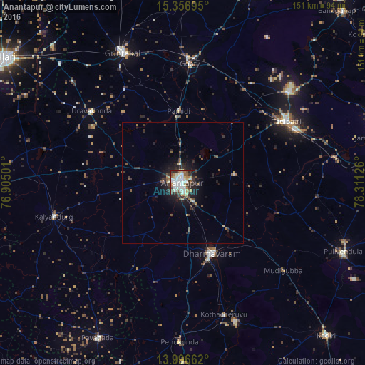
Analysis of Anantapur night lights 2016
Square area 10x10 km:
 10.12%
90-99
29.34%80-89
6.2%70-79
3.51%60-69
8.47%50-59
5.37%40-49
6.61%30-39
12.4%20-29
13.22%10-19
4.75%0-9
0%Square area 50x50 km:
0.43%90-99
1.26%80-89
0.49%70-79
0.31%60-69
0.67%50-59
0.93%40-49
0.65%30-39
1.6%20-29
1.8%10-19
3.98%0-9
87.86%Clear (daylight) street map image can be seen on geolist.org.
Map coordinates:
15° 21' 25" North, 76° 54' 18" East
14° 40' 40.2" North, 77° 36' 29.3" East
13° 59' 47.8" North, 78° 18' 40.5" East
Some cities around Anantapur sort by population:
• Guntakal Junction
60.9 km =37.8 mi,  334°
334°
• Dharmavaram
31.7 km =19.7 mi,  157°
157°
• Tādpatri
50.3 km =31.3 mi,  59°
59°
• Uravakonda
48.1 km =29.9 mi,  307°
307°
• Kalyandurg
56.1 km =34.9 mi,  254°
254°
• Penukonda
66.2 km =41.1 mi,  181°
181°
• Hosakote
65.1 km =40.5 mi,  226°
226°
• Puttaparthi
61.1 km =38 mi, 158°
1278672 (p: 240,442)
Sources (retrieved 2019-11-25):
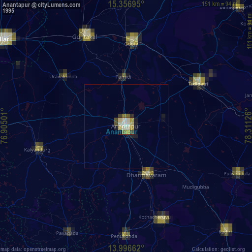
» NASA, Earths city lights 1995
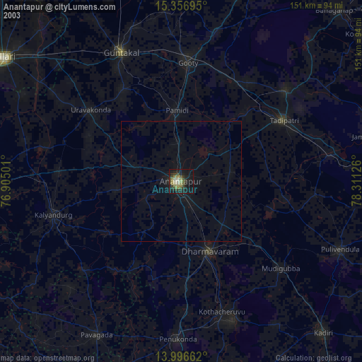
» NASA city lights 2003
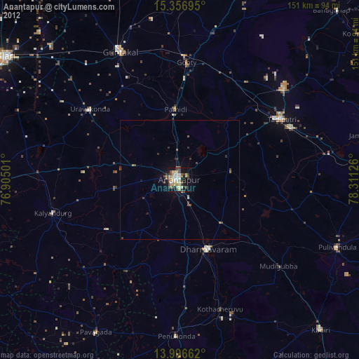
» Earth at Night: Flat Maps 2012, 2016