Kalyandurg night lights from space
Night Light of Kalyandurg (Andhra Pradesh) from space (India) Src. Average luminocity for 10x10km area is 8.8312% and for 50x50km: 1.3757%.
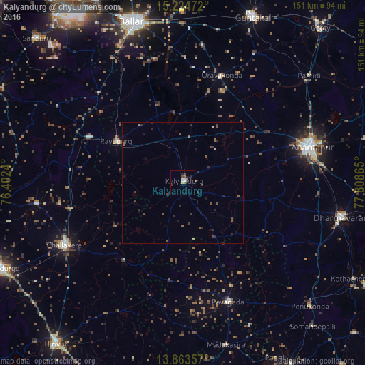
Analysis of Kalyandurg night lights 2016
Square area 10x10 km:
 0%
0%90-99
3.46%80-89
0%70-79
1.52%60-69
0.22%50-59
1.52%40-49
1.95%30-39
1.73%20-29
0.87%10-19
0.87%0-9
87.88%Square area 50x50 km:
0%90-99
0.2%80-89
0.03%70-79
0.09%60-69
0.13%50-59
0.45%40-49
0.34%30-39
0.41%20-29
0.56%10-19
0.42%0-9
97.38%Clear (daylight) street map image can be seen on geolist.org.
Map coordinates:
15° 13' 29" North, 76° 24' 8.6" East
14° 32' 42.7" North, 77° 6' 19.9" East
13° 51' 48.9" North, 77° 48' 31.1" East
Some cities around Kalyandurg sort by population:
• Bellary
69.2 km =43 mi,  343°
343°
• Anantapur
56.1 km =34.9 mi,  74°
74°
• Dharmavaram
67.8 km =42.1 mi,  102°
102°
• Rāyadrug
32.2 km =20 mi,  302°
302°
• Challakere
55 km =34.2 mi,  242°
242°
• Uravakonda
47.1 km =29.3 mi,  19°
19°
• Pāvugada
53 km =32.9 mi,  159°
159°
• Hosakote
30.7 km =19.1 mi,  167°
167°
7302838 (p: 29,272)
Sources (retrieved 2019-11-25):
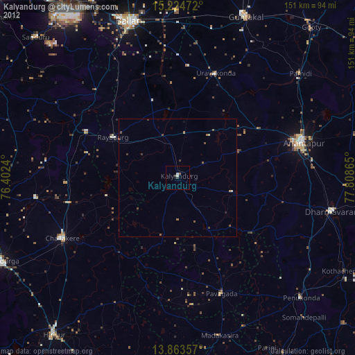
» Earth at Night: Flat Maps 2012, 2016