Umred night lights from space
Night Light of Umred (Maharashtra) from space (India) Src. Average luminocity for 10x10km area is 33.2341% and for 50x50km: 6.2704%.
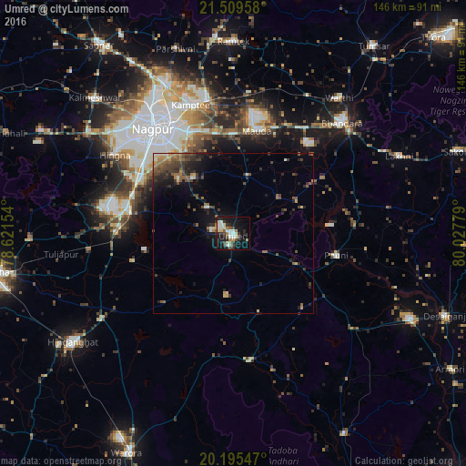
Analysis of Umred night lights 2016
Square area 10x10 km:
 4.96%
4.96%90-99
7.54%80-89
4.96%70-79
1.19%60-69
4.96%50-59
2.98%40-49
3.37%30-39
6.55%20-29
7.74%10-19
30.95%0-9
24.8%Square area 50x50 km:
0.32%90-99
0.6%80-89
0.53%70-79
0.55%60-69
0.89%50-59
1.43%40-49
1.47%30-39
1.81%20-29
2.09%10-19
4.58%0-9
85.72%Clear (daylight) street map image can be seen on geolist.org.
Map coordinates:
21° 30' 34.5" North, 78° 37' 17.5" East
20° 51' 14.3" North, 79° 19' 28.8" East
20° 11' 43.7" North, 80° 1' 40" East
Some cities around Umred sort by population:
• Nagpur
40.9 km =25.4 mi,  322°
322°
• Bhandāra
48.5 km =30.1 mi,  43°
43°
• Kāmthi
42.4 km =26.3 mi,  341°
341°
• Pawni
33.1 km =20.6 mi,  101°
101°
• Rāmtek
60.2 km =37.4 mi,  0°
0°
• Kalmeshwar
59.4 km =36.9 mi, 315°
• Sindi
45.8 km =28.5 mi,  263°
263°
• Mansar
60.6 km =37.7 mi,  353°
353°
1253807 (p: 51,794)
Sources (retrieved 2019-11-25):
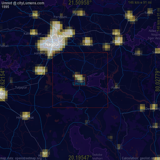
» NASA, Earths city lights 1995
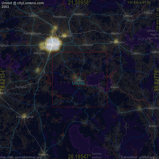
» NASA city lights 2003
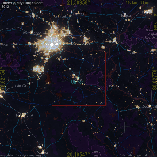
» Earth at Night: Flat Maps 2012, 2016