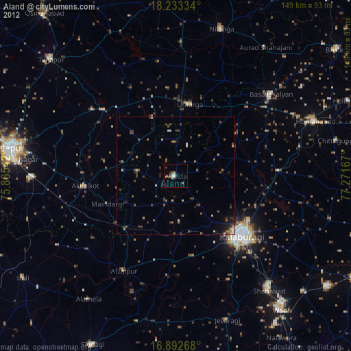
Aland night lights from space
Night Light of Aland (Karnataka) from space (India) Src. Average luminocity for 10x10km area is 14.8182% and for 50x50km: 3.9025%.
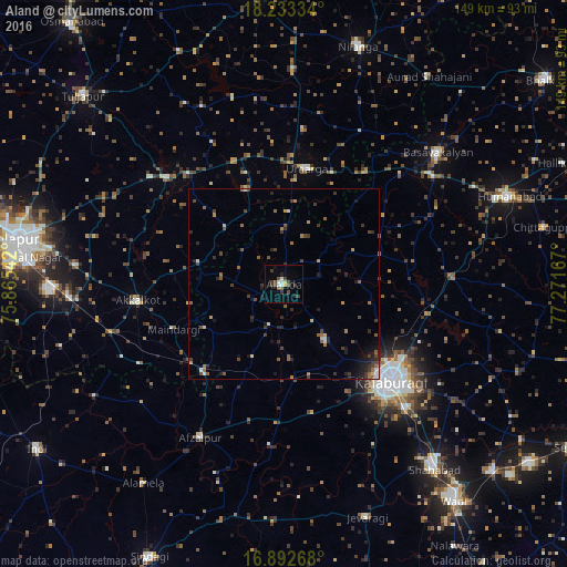
Analysis of Aland night lights 2016
Square area 10x10 km:
 1.65%
1.65%90-99
2.48%80-89
0.83%70-79
0.83%60-69
0.21%50-59
3.72%40-49
2.69%30-39
6.2%20-29
1.65%10-19
2.27%0-9
77.48%Square area 50x50 km:
0.23%90-99
0.31%80-89
0.28%70-79
0.28%60-69
0.68%50-59
0.84%40-49
0.91%30-39
1.16%20-29
1.19%10-19
1.34%0-9
92.79%Clear (daylight) street map image can be seen on geolist.org.
Map coordinates:
18° 14' 0" North, 75° 51' 55.5" East
17° 33' 51.3" North, 76° 34' 6.7" East
16° 53' 33.6" North, 77° 16' 18" East
Some cities around Aland sort by population:
• Gulbarga
38.2 km =23.7 mi,  131°
131°
• Akalkot
38.7 km =24 mi,  263°
263°
• Umarga
31 km =19.3 mi,  10°
10°
• Afzalpur
46.2 km =28.7 mi,  208°
208°
• Moram
27 km =16.8 mi,  337°
337°
• Naldurg
41.4 km =25.7 mi,  312°
312°
• Dudhani
31.4 km =19.5 mi,  222°
222°
• Maindargi
31.5 km =19.6 mi,  247°
247°
1279068 (p: 39,064)
Sources (retrieved 2019-11-25):
» Earth at Night: Flat Maps 2012, 2016