Udupi night lights from space
Night Light of Udupi (Karnataka) from space (India) Src. Average luminocity for 10x10km area is 55.8285% and for 50x50km: 5.8709%.
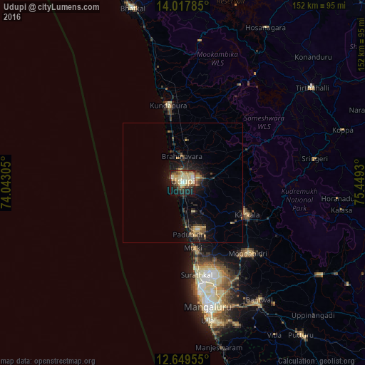
Analysis of Udupi night lights 2016
Square area 10x10 km:
 1.86%
1.86%90-99
15.91%80-89
17.98%70-79
9.92%60-69
3.51%50-59
7.85%40-49
6.61%30-39
5.99%20-29
8.88%10-19
19.42%0-9
2.07%Square area 50x50 km:
0.15%90-99
0.71%80-89
1.26%70-79
0.9%60-69
0.34%50-59
0.85%40-49
0.83%30-39
1.23%20-29
2%10-19
5.21%0-9
86.52%Clear (daylight) street map image can be seen on geolist.org.
Map coordinates:
14° 1' 4.3" North, 74° 2' 35" East
13° 20' 4.8" North, 74° 44' 46.2" East
12° 38' 58.4" North, 75° 26' 57.5" East
Some cities around Udupi sort by population:
• Manipal
4.4 km =2.7 mi,  67°
67°
• Mūdbidri
40.2 km =25 mi,  137°
137°
• Coondapoor
33.5 km =20.8 mi,  349°
349°
• Kārkala
29.8 km =18.5 mi,  116°
116°
• Malpe
4.9 km =3 mi,  289°
289°
• Someshwar
38.8 km =24.1 mi,  63°
63°
• Mūlki
27.6 km =17.1 mi,  169°
169°
• Gangolli
36 km =22.4 mi, 346°
1253952 (p: 165,000)
Sources (retrieved 2019-11-25):
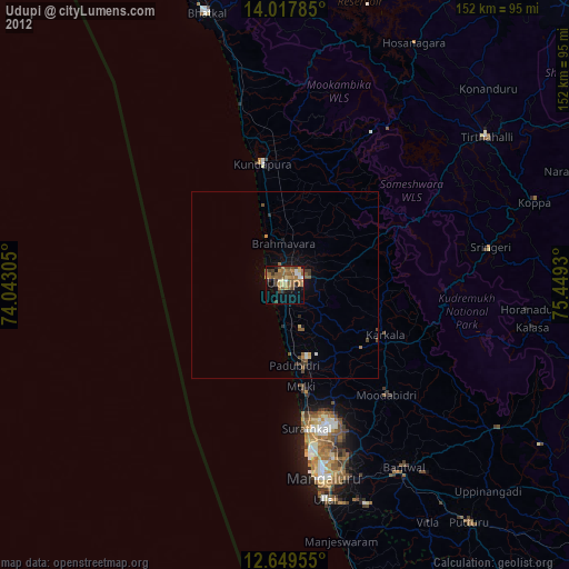
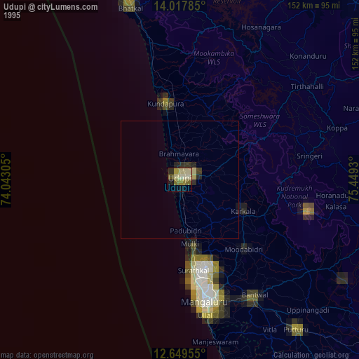
» NASA, Earths city lights 1995
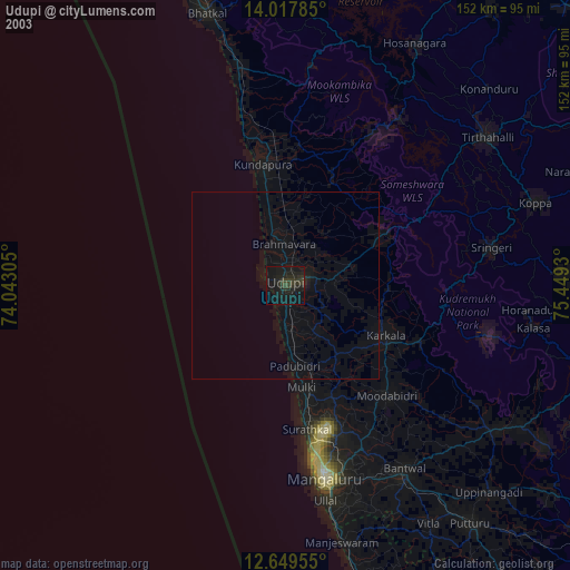
» NASA city lights 2003
» Earth at Night: Flat Maps 2012, 2016