Mūdbidri night lights from space
Night Light of Mūdbidri (Karnataka) from space (India) Src. Average luminocity for 10x10km area is 21.2338% and for 50x50km: 16.4745%.
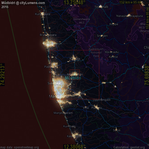
Analysis of Mūdbidri night lights 2016
Square area 10x10 km:
 0%
0%90-99
0%80-89
3.46%70-79
1.95%60-69
3.46%50-59
11.26%40-49
3.25%30-39
4.11%20-29
4.55%10-19
9.52%0-9
58.44%Square area 50x50 km:
1.71%90-99
2.91%80-89
3.58%70-79
1.54%60-69
1.82%50-59
2.56%40-49
2.97%30-39
2.8%20-29
4.25%10-19
7.62%0-9
68.24%Clear (daylight) street map image can be seen on geolist.org.
Map coordinates:
13° 45' 1.7" North, 74° 17' 31.7" East
13° 3' 59.5" North, 74° 59' 42.9" East
12° 22' 50.4" North, 75° 41' 54.2" East
Some cities around Mūdbidri sort by population:
• Mangalore
22.4 km =13.9 mi,  222°
222°
• Udupi
40.2 km =25 mi,  317°
317°
• Ullal
32.5 km =20.2 mi,  206°
206°
• Puttūr
40.8 km =25.4 mi,  146°
146°
• Bantvāl
20 km =12.4 mi,  167°
167°
• Manipal
39 km =24.2 mi, 323°
• Kārkala
16.4 km =10.2 mi,  358°
358°
• Mūlki
22 km =13.7 mi,  277°
277°
1262672 (p: 30,632)
Sources (retrieved 2019-11-25):
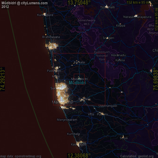
» Earth at Night: Flat Maps 2012, 2016