Malpe night lights from space
Night Light of Malpe (Karnataka) from space (India) Src. Average luminocity for 10x10km area is 34.5455% and for 50x50km: 5.6253%.
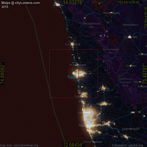
Analysis of Malpe night lights 2016
Square area 10x10 km:
 0.83%
0.83%90-99
7.23%80-89
9.3%70-79
7.64%60-69
2.89%50-59
3.51%40-49
3.72%30-39
7.23%20-29
4.55%10-19
21.9%0-9
31.2%Square area 50x50 km:
0.15%90-99
0.71%80-89
1.26%70-79
0.88%60-69
0.32%50-59
0.81%40-49
0.81%30-39
1.17%20-29
1.9%10-19
4.71%0-9
87.26%Clear (daylight) street map image can be seen on geolist.org.
Map coordinates:
14° 1' 57.9" North, 74° 0' 3" East
13° 20' 58.6" North, 74° 42' 14.2" East
12° 39' 52.3" North, 75° 24' 25.5" East
Some cities around Malpe sort by population:
• Udupi
4.9 km =3 mi,  109°
109°
• Manipal
8.6 km =5.3 mi,  89°
89°
• Mūdbidri
44.6 km =27.7 mi,  134°
134°
• Coondapoor
31.4 km =19.5 mi,  357°
357°
• Kārkala
34.6 km =21.5 mi,  115°
115°
• Someshwar
42.2 km =26.2 mi,  68°
68°
• Mūlki
30.3 km =18.8 mi,  161°
161°
• Gangolli
33.6 km =20.9 mi,  353°
353°
1264037 (p: 23,496)
Sources (retrieved 2019-11-25):
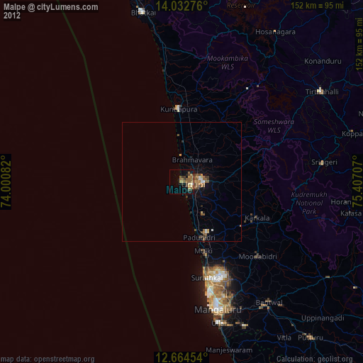
» Earth at Night: Flat Maps 2012, 2016