Someshwar night lights from space
Night Light of Someshwar (Karnataka) from space (India) Src. Average luminocity for 10x10km area is 0% and for 50x50km: 0.5546%.
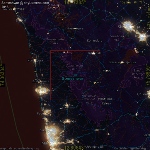
Analysis of Someshwar night lights 2016
Square area 10x10 km:
 0%
0%90-99
0%80-89
0%70-79
0%60-69
0%50-59
0%40-49
0%30-39
0%20-29
0%10-19
0%0-9
100%Square area 50x50 km:
0.04%90-99
0.04%80-89
0.08%70-79
0.13%60-69
0.07%50-59
0.03%40-49
0.05%30-39
0.17%20-29
0.11%10-19
0.16%0-9
99.12%Clear (daylight) street map image can be seen on geolist.org.
Map coordinates:
14° 10' 25.9" North, 74° 21' 48" East
13° 29' 28" North, 75° 3' 59.3" East
12° 48' 23.1" North, 75° 46' 10.5" East
Some cities around Someshwar sort by population:
• Udupi
38.8 km =24.1 mi,  243°
243°
• Manipal
34.4 km =21.4 mi, 242°
• Coondapoor
43.6 km =27.1 mi,  290°
290°
• Kārkala
31.8 km =19.8 mi,  194°
194°
• Malpe
42.2 km =26.2 mi,  248°
248°
• Tīrthahalli
29.2 km =18.1 mi,  41°
41°
• Gangolli
46.3 km =28.8 mi, 292°
• Koppa
32.4 km =20.1 mi,  82°
82°
1255823 (p: 22,137)
Sources (retrieved 2019-11-25):
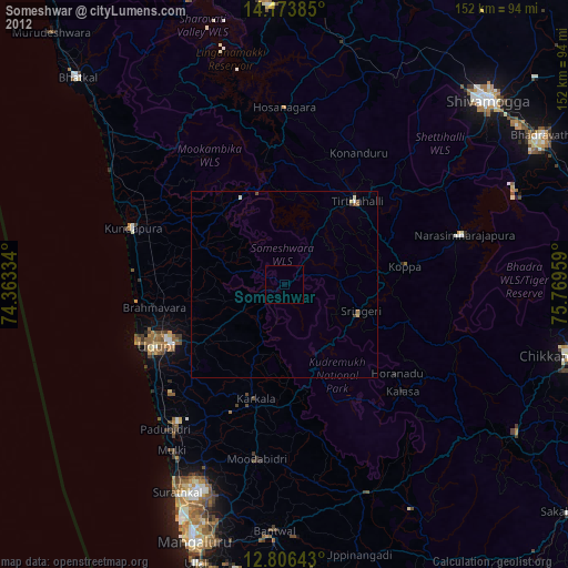
» Earth at Night: Flat Maps 2012, 2016