Kārkala night lights from space
Night Light of Kārkala (Karnataka) from space (India) Src. Average luminocity for 10x10km area is 13.7532% and for 50x50km: 8.6116%.
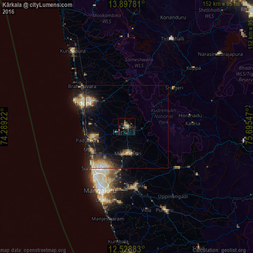
Analysis of Kārkala night lights 2016
Square area 10x10 km:
 0%
0%90-99
0%80-89
1.3%70-79
3.46%60-69
1.3%50-59
2.6%40-49
4.33%30-39
7.36%20-29
2.16%10-19
2.6%0-9
74.89%Square area 50x50 km:
0.43%90-99
0.93%80-89
1.67%70-79
1.03%60-69
0.77%50-59
1.79%40-49
1.5%30-39
2.03%20-29
2.62%10-19
6.68%0-9
80.55%Clear (daylight) street map image can be seen on geolist.org.
Map coordinates:
13° 53' 52.1" North, 74° 17' 21.2" East
13° 12' 51.4" North, 74° 59' 32.4" East
12° 31' 43.8" North, 75° 41' 43.7" East
Some cities around Kārkala sort by population:
• Mangalore
36.2 km =22.5 mi,  204°
204°
• Udupi
29.8 km =18.5 mi,  296°
296°
• Bantvāl
36.3 km =22.6 mi,  172°
172°
• Manipal
27.2 km =16.9 mi, 303°
• Mūdbidri
16.4 km =10.2 mi,  178°
178°
• Malpe
34.6 km =21.5 mi, 295°
• Someshwar
31.8 km =19.8 mi,  14°
14°
• Mūlki
25.5 km =15.8 mi,  237°
237°
1267739 (p: 25,374)
Sources (retrieved 2019-11-25):
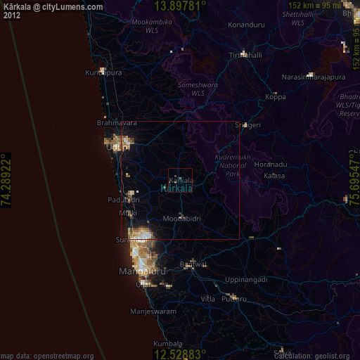
» Earth at Night: Flat Maps 2012, 2016