Coondapoor night lights from space
Night Light of Coondapoor (Karnataka) from space (India) Src. Average luminocity for 10x10km area is 12.3678% and for 50x50km: 1.1255%.
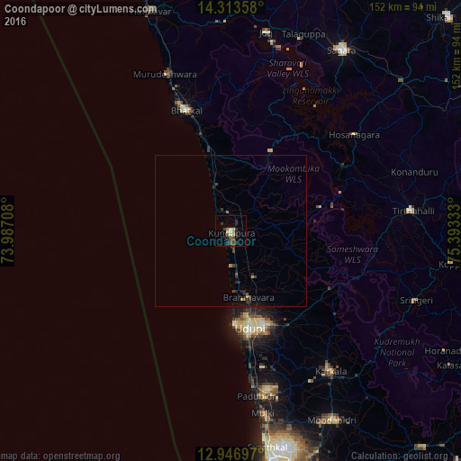
Analysis of Coondapoor night lights 2016
Square area 10x10 km:
 0%
0%90-99
1.86%80-89
2.27%70-79
0.21%60-69
1.65%50-59
1.45%40-49
4.13%30-39
1.86%20-29
6.82%10-19
1.65%0-9
78.1%Square area 50x50 km:
0%90-99
0.07%80-89
0.12%70-79
0.05%60-69
0.16%50-59
0.12%40-49
0.39%30-39
0.29%20-29
0.53%10-19
0.59%0-9
97.68%Clear (daylight) street map image can be seen on geolist.org.
Map coordinates:
14° 18' 48.9" North, 73° 59' 13.5" East
13° 37' 52.5" North, 74° 41' 24.7" East
12° 56' 49.1" North, 75° 23' 36" East
Some cities around Coondapoor sort by population:
• Udupi
33.5 km =20.8 mi,  169°
169°
• Manipal
32.9 km =20.4 mi,  162°
162°
• Bhatkal
42 km =26.1 mi,  339°
339°
• Malpe
31.4 km =19.5 mi,  177°
177°
• Someshwar
43.6 km =27.1 mi,  110°
110°
• Byndoor
26.9 km =16.7 mi,  346°
346°
• Gangolli
3 km =1.9 mi,  315°
315°
• Hosanagara
51.2 km =31.8 mi,  52°
52°
1273834 (p: 28,491)
Sources (retrieved 2019-11-25):
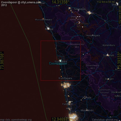
» Earth at Night: Flat Maps 2012, 2016