Palani night lights from space
Night Light of Palani (Tamil Nadu) from space (India) Src. Average luminocity for 10x10km area is 32.374% and for 50x50km: 5.036%.
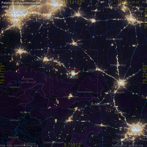
Analysis of Palani night lights 2016
Square area 10x10 km:
 2.27%
2.27%90-99
5.79%80-89
3.31%70-79
7.64%60-69
1.65%50-59
4.13%40-49
6.82%30-39
5.37%20-29
6.2%10-19
38.02%0-9
18.8%Square area 50x50 km:
0.13%90-99
0.4%80-89
0.5%70-79
0.98%60-69
0.56%50-59
0.58%40-49
1.24%30-39
1.23%20-29
1.1%10-19
3.68%0-9
89.61%Clear (daylight) street map image can be seen on geolist.org.
Map coordinates:
11° 8' 27.7" North, 76° 49' 4" East
10° 27' 1.2" North, 77° 31' 15.2" East
9° 45' 29.2" North, 78° 13' 26.5" East
Some cities around Palani sort by population:
• Dharapuram
32 km =19.9 mi,  2°
2°
• Udumalaippettai
33.6 km =20.9 mi,  297°
297°
• Periyakulam
36.5 km =22.7 mi,  176°
176°
• Kodaikānāl
23.7 km =14.7 mi,  188°
188°
• Ayakudi
3.4 km =2.1 mi,  90°
90°
• Devadānappatti
36.3 km =22.6 mi,  158°
158°
• Kumaralingam
19.2 km =11.9 mi,  283°
283°
• Kīranūr
16.1 km =10 mi,  353°
353°
1260671 (p: 66,085)
Sources (retrieved 2019-11-25):
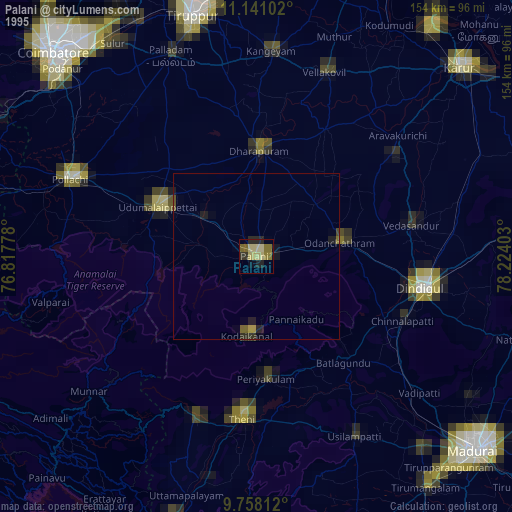
» NASA, Earths city lights 1995
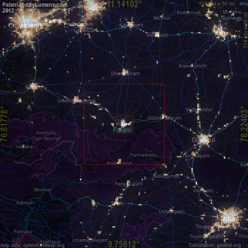
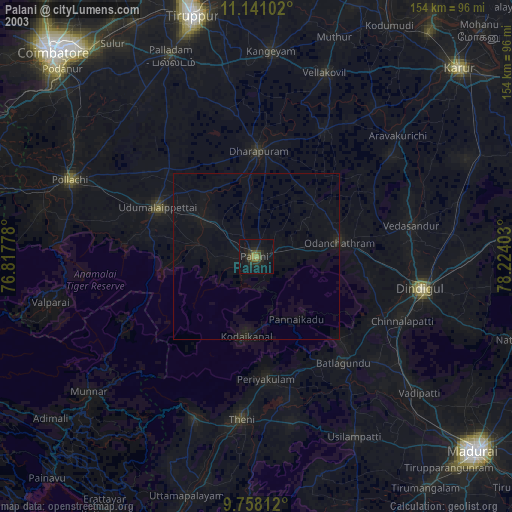
» NASA city lights 2003
» Earth at Night: Flat Maps 2012, 2016