Udhampur night lights from space
Night Light of Udhampur (Jammu and Kashmir) from space (India) Src. Average luminocity for 10x10km area is 60.4744% and for 50x50km: 14.1144%.
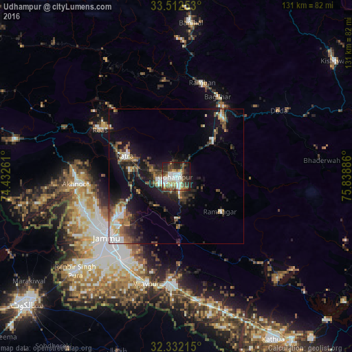
Analysis of Udhampur night lights 2016
Square area 10x10 km:
 11.54%
90-99
21.06%80-89
3.85%70-79
5.68%60-69
4.76%50-59
9.34%40-49
10.07%30-39
9.89%20-29
14.84%10-19
8.61%0-9
0.37%Square area 50x50 km:
1.56%90-99
2.72%80-89
0.86%70-79
1.39%60-69
1.83%50-59
2.06%40-49
2.88%30-39
3.02%20-29
3.95%10-19
10.7%0-9
69.04%Clear (daylight) street map image can be seen on geolist.org.
Map coordinates:
33° 30' 45.1" North, 74° 25' 57.4" East
32° 55' 27.5" North, 75° 8' 8.6" East
32° 19' 55.7" North, 75° 50' 19.9" East
Some cities around Udhampur sort by population:
• Jammu
32.6 km =20.3 mi,  229°
229°
• Sāmba
40.3 km =25 mi,  182°
182°
• Akhnūr
38.1 km =23.7 mi,  260°
260°
• Bishnāh
43.6 km =27.1 mi,  216°
216°
• Katra
20.4 km =12.7 mi,  291°
291°
• Rāmnagar
20.9 km =13 mi,  128°
128°
• Riāsi
33.2 km =20.6 mi,  301°
301°
• Rāmban
36.6 km =22.7 mi,  14°
14°
1253956 (p: 80,447)
Sources (retrieved 2019-11-25):
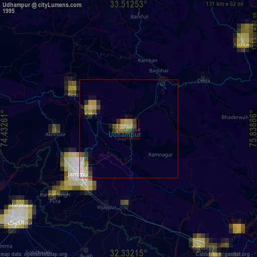
» NASA, Earths city lights 1995
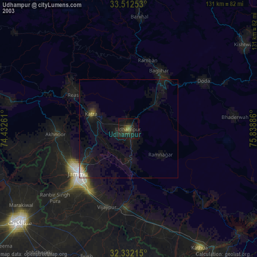
» NASA city lights 2003
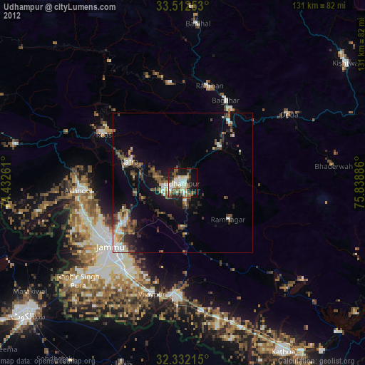
» Earth at Night: Flat Maps 2012, 2016