Sāmba night lights from space
Night Light of Sāmba (Jammu and Kashmir) from space (India) Src. Average luminocity for 10x10km area is 53.3531% and for 50x50km: 25.4649%.
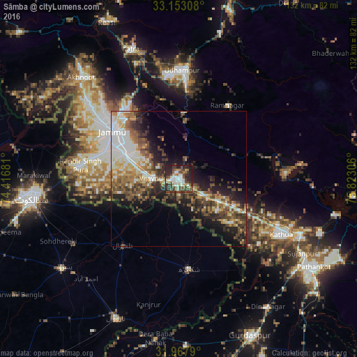
Analysis of Sāmba night lights 2016
Square area 10x10 km:
 5.59%
5.59%90-99
15.91%80-89
3.32%70-79
5.42%60-69
5.59%50-59
9.97%40-49
14.86%30-39
10.31%20-29
22.38%10-19
6.64%0-9
0%Square area 50x50 km:
3.46%90-99
5.53%80-89
2.47%70-79
2.9%60-69
3.73%50-59
4.33%40-49
5.39%30-39
4.63%20-29
7.07%10-19
9.52%0-9
50.98%Clear (daylight) street map image can be seen on geolist.org.
Map coordinates:
33° 9' 11.1" North, 74° 25' 0.5" East
32° 33' 44.8" North, 75° 7' 11.7" East
31° 58' 4.4" North, 75° 49' 23" East
Some cities around Sāmba sort by population:
• Jammu
30.4 km =18.9 mi,  309°
309°
• Shakargarh, PK
33.4 km =20.8 mi,  173°
173°
• Zafarwal, PK
31.8 km =19.8 mi,  220°
220°
• Bishnāh
25.3 km =15.7 mi,  282°
282°
• Norīa
30.5 km =19 mi,  261°
261°
• Hirānagar
18.6 km =11.6 mi,  130°
130°
• Rāmnagar
32.6 km =20.3 mi,  33°
33°
• Khaur
29.5 km =18.3 mi, 278°
1257545 (p: 26,893)
Sources (retrieved 2019-11-25):
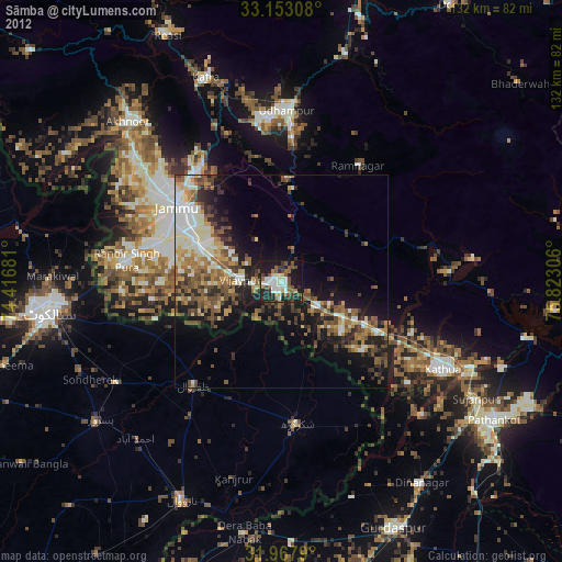
» Earth at Night: Flat Maps 2012, 2016