Phulbāni night lights from space
Night Light of Phulbāni (Odisha) from space (India) Src. Average luminocity for 10x10km area is 10.0189% and for 50x50km: 0.589%.
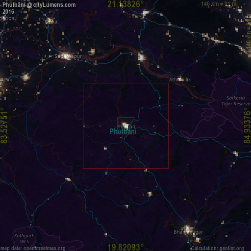
Analysis of Phulbāni night lights 2016
Square area 10x10 km:
 1.33%
1.33%90-99
2.27%80-89
2.46%70-79
0%60-69
0.76%50-59
1.7%40-49
2.08%30-39
0%20-29
0%10-19
0%0-9
89.39%Square area 50x50 km:
0.06%90-99
0.13%80-89
0.1%70-79
0%60-69
0.03%50-59
0.1%40-49
0.09%30-39
0.18%20-29
0.06%10-19
0.06%0-9
99.19%Clear (daylight) street map image can be seen on geolist.org.
Map coordinates:
21° 8' 17.7" North, 83° 31' 39" East
20° 28' 51.6" North, 84° 13' 50.3" East
19° 49' 15.3" North, 84° 56' 1.5" East
Some cities around Phulbāni sort by population:
• Bhanjanagar
71.7 km =44.6 mi,  149°
149°
• Baud
40.9 km =25.4 mi,  14°
14°
• Sonepur
51 km =31.7 mi,  320°
320°
• Binka
74.6 km =46.4 mi, 324°
• Kaintragarh
41.4 km =25.7 mi,  49°
49°
• Udayagiri
42.2 km =26.2 mi,  160°
160°
• Belaguntha
79 km =49.1 mi, 147°
• Tarabha
64.3 km =40 mi,  295°
295°
1259756 (p: 36,613)
Sources (retrieved 2019-11-25):
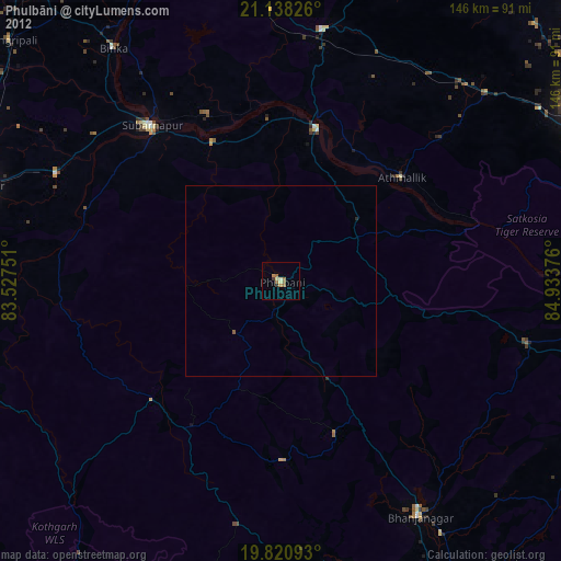
» Earth at Night: Flat Maps 2012, 2016